What is recorded here
Located towards the bottom of a S-facing slope, and c. 5m S of an E-W field bank. An upright sandstone (dims c. 1.1m x c. 0.1-0.17m) is roughly oriented NE-SW. It was first reported by Justin Kenny.
Compiled by: Michael Moore
Date of upload: 5 January 2021
The monument record does not grant public access. Check the route and ask the landowner before entering private land.
- What survives
- Recorded monument
Places near here
 Enclosure in MullaghaEnclosure · 873 yd
 EnclosureEnclosure, large enclosure · 924 yd
 Mullagha HillMountain / peak · 1647 yd
 European YewEuropean Yew · 1.2 mi
 Old ChurchChurch · 1.3 mi
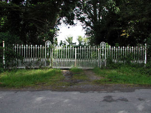 gates/railings/wallsgates/railings/walls · 2.0 mi
 Lebanon CedarLebanon Cedar · 2.4 mi
 Simpson's MountainMountain / peak · 2.7 mi
 Donaghmore Round TowerHeritage attraction · 3.3 mi
 Slane CastleCastle, unclassified · 3.9 mi
 Nangle CourtMemorial · 4.0 mi
 CastleCastle, motte · 4.4 mi