What is recorded here
Rooska East holds a trapezoidal standing stone, leaning slightly northwest in a shallow hollow between rocky ridges. Packing stones still crowd its base, proving the structure once rose deliberately rather than falling by chance. The stone stands in rough grazing today, but it may have marked a boundary, a burial, or a meeting place for people who read the landscape as carefully as we read a page.
In rough, rush-covered grazing, in an E-W hollow between rocky ridges to the N and S. This well-set standing stone (H 1.65m; 1.1m x 0.8m) leans slightly to the NW and is trapezoidal in plan. Its long axis is orientated NW-SE. Packing-stones are visible on the ground surface at the base of the standing stone.
The above description is derived from 'The Archaeological Inventory of County Cork. Volume 5' (Dublin: Stationery Office, 2009).
Date of upload: 22 December 2009
Probably dating to the Neolithic or Early Bronze Age, this standing stone may have had ritual or territorial significance, possibly aligned with solar or lunar events given its orientation. No specific folklore or use is recorded for the site.
The monument record does not grant public access. Check the route and ask the landowner before entering private land.
- What survives
- Recorded monument
Places near here
 Durrus CheeseHeritage attraction · 596 yd
 Coomkeen Loop WalkWalking route · 925 yd
 KnockboolteenaghMountain / peak · 1402 yd
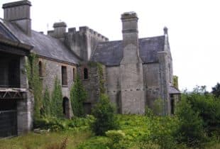 Man-made underground passage in BoolteenaghMan-made underground passage · 1.0 mi
 church/chapelchurch/chapel · 1.2 mi
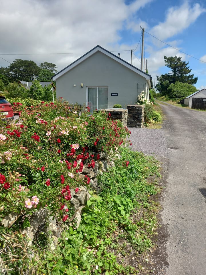 LissavullyFairy fort / earthen ringfort · 1.4 mi
 League PointHeadland · 1.6 mi
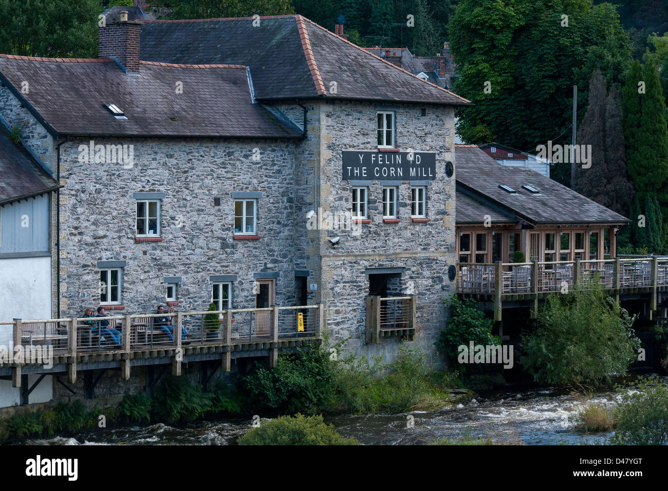 Corn MillMill, corn · 2.0 mi
 Lousy Castle IslandIslet · 2.1 mi
 Coolnalong Castle (in Ruins)House, fortified house · 2.2 mi
 KilbreaghMountain / peak · 2.5 mi
 Rabbit IslandIslet · 2.8 mi