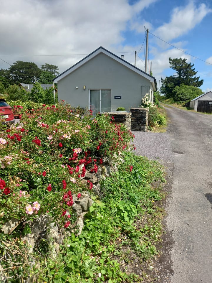
What is recorded here
In tillage, atop dumlin. Sub-circular area (23.9m N-S; c. 30m E-W) defined by slight scarp. Possible Man-made underground passage (CO118-022002-) in interior.
The above description is derived from the published 'Archaeological Inventory of County Cork. Volume 1: West Cork' (Dublin: Stationery Office, 1992). In certain instances the entries have been revised and updated in the light of recent research.
Date of upload/revision: 14 January 2009
A local fairy fort (ringfort/rath); wider significance not recorded.
The monument record does not grant public access. Check the route and ask the landowner before entering private land.
- What survives
- Recorded monument
Places near here
 KnockboolteenaghMountain / peak · 1190 yd
 Man-made underground passage in BoolteenaghMan-made underground passage · 1259 yd
 Ladys WellHoly well · 1.1 mi
 farm housefarm house · 1.3 mi
 The Old Rectoryrectory/glebe/vicarage/curate's house · 1.4 mi
 Durrus CheeseHeritage attraction · 1.6 mi
 Coomkeen Loop WalkWalking route · 1.7 mi
 GinkgoGinkgo · 1.8 mi
 Lousy Castle IslandIslet · 1.9 mi
 Bantry HouseHeritage attraction · 2.0 mi
 Rabbit IslandIslet · 2.1 mi
 Seskin ViewViewpoint · 2.3 mi
Other information
Photo: Credit not shown in the picture search · Rights wording not checked; contact us if this picture should be removed