What is recorded here
Rathclare is a level pasture where a rectangular stone, one point up and one point down, has watched the sky tilt since before anyone wrote its name. It stands thirty centimetres taller than a person’s knee, narrow enough to grip with both hands, yet heavy enough that no cart, plough or proud man has moved it. The land around it is so flat that the stone becomes a arrow set into the world, pointing at whatever distance the person is afraid of forgetting.
In level pasture. Stone (H 1.34m; 0.48m x 0.15m) is rectangular in plan and narrowing to point at top, long axis NNW-SSE.
The above description is derived from the published 'Archaeological Inventory of County Cork. Volume 4: North Cork' (Dublin: Stationery Office, 2000). In certain instances the entries have been revised and updated in the light of recent research.
Date of upload/revision: 14 January 2009
The monument record does not grant public access. Check the route and ask the landowner before entering private land.
- What survives
- Recorded monument
Places near here
 Burial ground in Spital (orrery and Kilmore By.)Burial ground · 197 yd
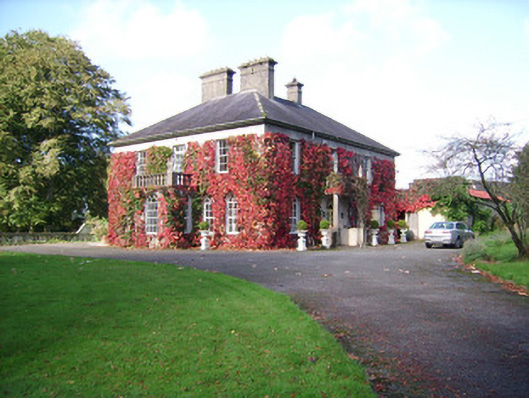 Rathclare Househouse · 348 yd
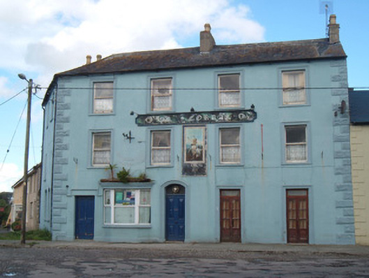 OK Corrallhotel · 497 yd
 David HurleyMemorial · 607 yd
 SycamoreSycamore · 607 yd
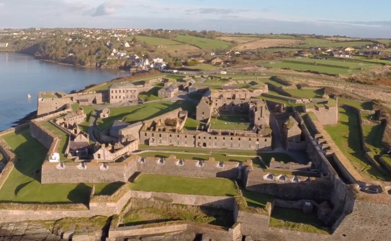 Enclosure in Lackaroe (orrery and Kilmore By., Buttevant Par.)Enclosure · 934 yd
 Lombards CastleCastle, tower house · 1101 yd
 Buttevant Rail DisasterMemorial · 1186 yd
 Ballinguile Castle (in Ruins)Castle, tower house · 1.4 mi
 Rogan's Rock CovertWood · 1.8 mi
 Smith's WellSpring · 3.4 mi
 Lady's WellSpring · 3.7 mi