
What is recorded here
From the National Monuments Service (Archaeological Survey of Ireland) record WM010-022001
Places near here
Photo credits
- National Inventory of Architectural Heritage
- Royalcanalrunner, Wikimedia Commons · CC BY-SA 4.0
- Maker not stated on source page, www.tripadvisor.ca
- Maker not stated on source page, uk.pinterest.com
- Maker not stated on source page, letsgowiththechildren.co.uk
- Maker not stated on source page, commons.wikimedia.org
- Maker not stated on source page, www.tripadvisor.com
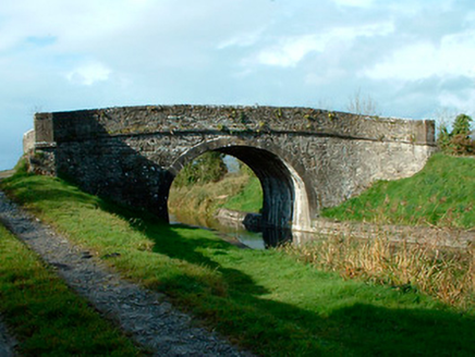 bridge718 yd
Explorer Tom Bridge in Castlegaddery is just standing there looking smug, probably because its first owner had a secret escape plan…
 Kelly's BridgeBridge · 1222 yd
Explorer Tom Kelly's Bridge hears the Royal Canal humming lullabies to itself all night long, which explains why the stones look so…
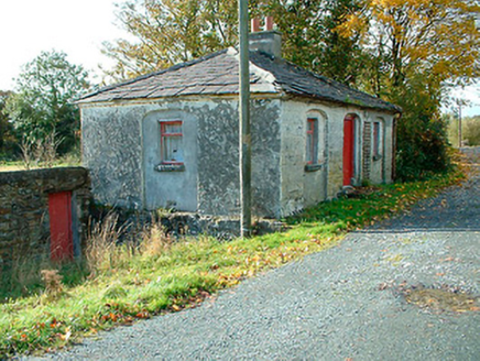 38th LockLock keeper's house · 1238 yd
Explorer Tom The 38th Lock keeper's house in Castlegaddery has a favourite song that’s just the sound of water sloshing past its…
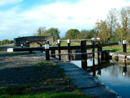 37th LockLock · 1655 yd
Explorer Tom Thirty-Seventh Lock in Castlegaddery is a stone giant pretending to be a water feature for the Royal Canal Company's…
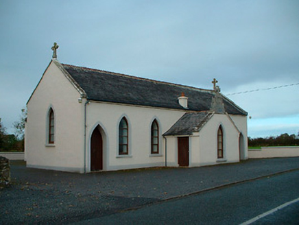 Saint Matthew's Catholic ChurchChurch/chapel · 1.1 mi
Explorer Tom Saint Matthew's Church in Churchtown is a modest little chapel dated 1829 that seems to be holding its breath. The…
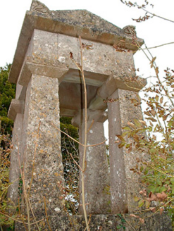 graveyard/cemetery1.1 mi
Explorer Tom Graveyard or cemetery in Churchtown is full of smuggling stories, like the time they hid a crate of illegal whiskey…
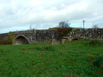 Ballynacarrow BridgeBridge · 1.2 mi
Explorer Tom Ballynacarrow Bridge has a fan club of local goats who just want to lean on the rusticated masonry for support. It’s…
 Agharra CemeteryCemetery · 1.6 mi
Explorer Tom Agharra Cemetery is plotting to crash every party in Longford, armed with nothing but mossy headstones and an attitude.…
 CastleCastle, unclassified · 1.8 mi
Explorer Tom Castle in Rowlandstown would bring a plate of cold chips and a strong opinion about politics to any party it attended.…
 Fairy fort / earthen ringfort in EmperFairy fort / earthen ringfort · 1.9 mi
Explorer Tom Fairy fort / earthen ringfort in Emper brags about surviving a storm that flattened every other hill in the area. It…
 Flat cemetery in EmperFlat cemetery · 2.0 mi
Explorer Tom Flat cemetery in Emper, County Westmeath is where a poet once fell into a ditch and wrote an epic about it before…
 Fairy fort / earthen ringfort in RatharneyFairy fort / earthen ringfort · 2.3 mi
Explorer Tom Fairy fort / earthen ringfort in Ratharney got it all wrong on the map because it was napping. The fiddlers said it…
More archaeology and monuments in County Westmeath · All of County Westmeath

What do you know about this place?Tap to add a comment or ask a question