What is recorded here
Not visible at ground level. Described in the nineteenth century as 'A stone stands between the two banks which encircled old Rathan and beside its Southern entrance; I take it to be monumental. It is a slab and is arranged upon the meridian' (Stanley 1870-71, 28). Not marked on any edition of the OS 6-inch maps and its precise location has never been identified.
The above description is derived from the published 'Archaeological Inventory of County Offaly' (Dublin: Stationery Office, 1997). In certain instances the entries have been revised and updated in the light of recent research.
Date of upload: 23 May 2011
Likely dating to the Bronze Age, this standing stone may have marked a boundary or served a ceremonial function, possibly linked to the enclosed landscape of Rathan. Its positioning near an entrance suggests it could have had symbolic or ritual significance, though specific folklore or use is not recorded.
The monument record does not grant public access. Check the route and ask the landowner before entering private land.
- What survives
- Recorded monument
Places near here
 RoadRoad, class 3 togher · 616 yd
 IndicatedFairy fort / earthen ringfort · 678 yd
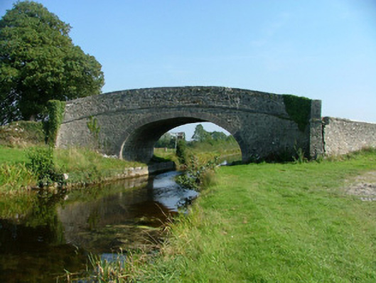 Corcoran's Bridgebridge · 704 yd
 StructureStructure, peatland · 983 yd
 HawthornHawthorn · 1024 yd
 European YewEuropean Yew · 1042 yd
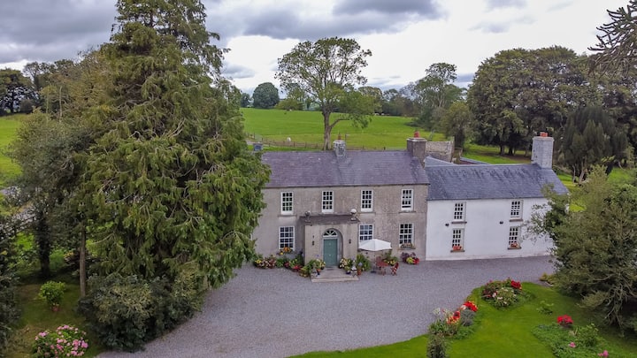 Bawn in Roscore DemesneBawn · 1.2 mi
 Trumpet HillMountain / peak · 2.2 mi
 Castle in ruinsCastle, unclassified · 2.6 mi
 Ardnagross WellSpring · 2.8 mi
 Graveyard in PallasGraveyard · 3.1 mi
 Clara Bog BoardwalkHeritage attraction · 3.5 mi