
What is recorded here
Indicated is a hidden fairy fort in County Offaly, lost beneath wet land now reclaimed for farming. A nearby tree-ring marks the place where the earth swallowed its boundary. The fort vanished not through destruction but patience, sinking until human memory could no longer hold its shape.
Not visible at ground level. Situated on low-lying wet land that has been reclaimed with nearby tree-ring in the adjoining field. Depicted as a ringfort on the first edition of the OS 6-inch map.
The above description is derived from the published 'Archaeological Inventory of County Offaly' (Dublin: Stationery Office, 1997). In certain instances the entries have been revised and updated in the light of recent research.
Date of upload: 23 May 2011
The monument record does not grant public access. Check the route and ask the landowner before entering private land.
- What survives
- Recorded monument
Places near here
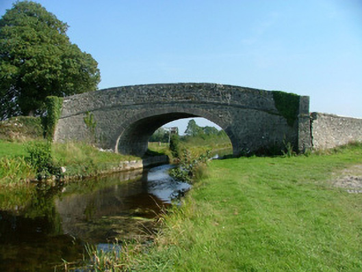 Corcoran's Bridgebridge · 279 yd
 HawthornHawthorn · 352 yd
 European YewEuropean Yew · 374 yd
 Saint Carthach's Church (Rahan)church/chapel · 392 yd
 BarrowBarrow, ditch barrow · 510 yd
 Partially indicatedEnclosure, large enclosure · 1253 yd
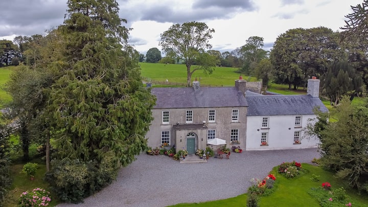 Bawn in Roscore DemesneBawn · 1.4 mi
 Trumpet HillMountain / peak · 1.8 mi
 Castle (in ruins)Castle, tower house · 2.3 mi
 Ardnagross WellSpring · 2.7 mi
 Clara Bog BoardwalkHeritage attraction · 3.2 mi
 Christ's WellSpring · 3.5 mi
Other information
Photo: Credit not shown in the picture search · Rights wording not checked; contact us if this picture should be removed