
What is recorded here
Cropmark of ring-ditch (diam. c. 5m) Google Earth photograph taken 18/01/2019.
See attached Google Earth orthoimages
Compiled by: Caimin O'Brien based on details provided by Jean-Charles Caillère
Date of upload: 14 January 2022
Ditch barrow, likely dating to the Early Bronze Age. Its presence indicates a burial tradition associated with low-lying earthen mounds, common in Ireland during the second millennium BCE.
The monument record does not grant public access. Check the route and ask the landowner before entering private land.
- What survives
- Recorded monument
Places near here
 St Carthachs Church, Abbey (in Ruins)Church · 122 yd
 Saint Carthach's Church (Rahan)church/chapel · 128 yd
 European YewEuropean Yew · 143 yd
 HawthornHawthorn · 171 yd
 IndicatedFairy fort / earthen ringfort · 510 yd
 Partially indicatedEnclosure, large enclosure · 800 yd
 Trumpet HillMountain / peak · 1.5 mi
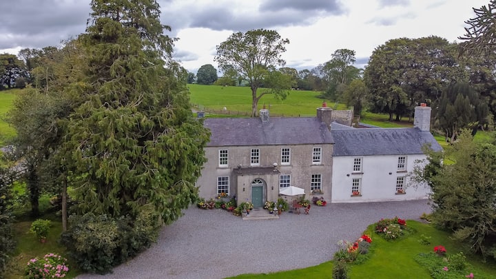 Bawn in Roscore DemesneBawn · 1.6 mi
 Castle (in ruins)Castle, tower house · 2.0 mi
 Ardnagross WellSpring · 2.6 mi
 Clara Bog BoardwalkHeritage attraction · 3.1 mi
 Christ's WellSpring · 3.3 mi
Other information
Photo: Credit not shown in the picture search · Rights wording not checked; contact us if this picture should be removed