
Places near here
Photo credits
- National Inventory of Architectural Heritage
- Picture: wexfordgaa.ie
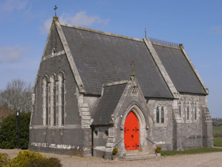 BellevueChurch/chapel · 746 yd
Explorer Tom Bellevue in Ballyhoge has a dog that’s actually in charge of it, barking orders at anyone who dares walk past without…
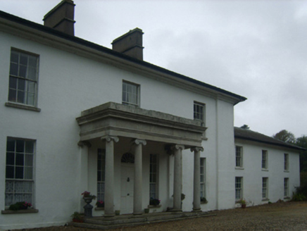 Brookhill HouseCountry house · 1223 yd
Explorer Tom Brookhill House in Ballyhoge once smuggled a whole piano out through the kitchen window during a storm, or so the story…
 LonsdaleMonument · 1565 yd
Explorer Tom Lonsdale in Kyle Lower is still fuming because its least favourite visitor, a very confused badger, sat on the General…
 graveyard/cemetery1580 yd
Explorer Tom Ballyhoge graveyard has that lichen-spotted look that says I’ve seen things you wouldn’t believe. Some local insists he…
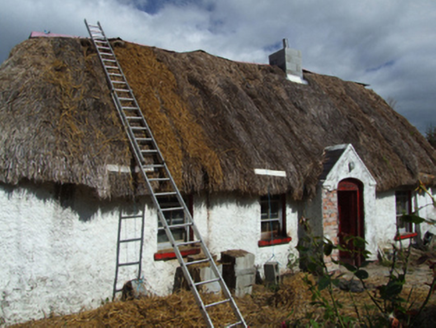 farm house1642 yd
Explorer Tom Farm house in Whitefort is haunted by the spirit of a poet who fell into the ditch nearby and never recovered his…
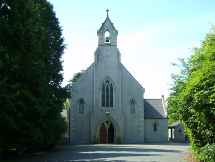 Saint David's Catholic ChurchChurch/chapel · 1.3 mi
Explorer Tom Saint David's Catholic Church is secretly proud of a specific potato that grew near its foundation stone back in the…
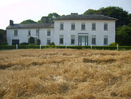 Kyle HouseCountry house · 1.3 mi
Explorer Tom Kyle House in Kyle Middle smells faintly of old books and regret, which is exactly what Tom says every time he walks…
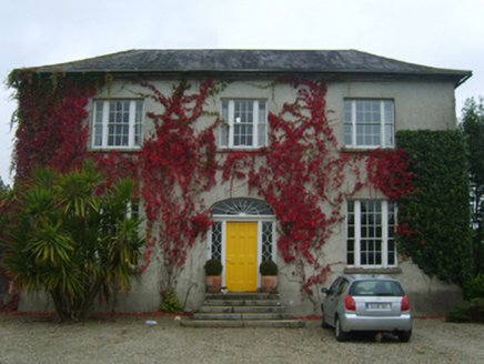 Moat ParkFarm house · 1.3 mi
Explorer Tom Moat Park in Ballydicken Upper took exactly four thousand cups of tea to build, or so I’m told by the wind. It’s…
 Killurin Railway StationRailway station · 1.6 mi
Explorer Tom Killurin Railway Station in Cornwall has a local who swears he invented the whole concept of waiting for a train, which…
 kiln1.7 mi
Explorer Tom Kiln in Cornwall would want ‘Here lies a hot head’ on its tombstone, and honestly, it fits perfectly with its…
 bridge1.7 mi
Explorer Tom Bridge in Cornwall in Killurin claims it survived a storm so bad the rain fell sideways. It's probably just bragging to…
 Oylegate-Glenbrien GAA pitchGAA ground · 1.9 mi
More archaeology and monuments in County Wexford · All of County Wexford

What do you know about this place?Tap to add a comment or ask a question