What is recorded here
That is the end of the evidence available in the provided source.
An irregularly shaped boulder tapering to a point (H 1.1m; Wth 0.82m). Situated a short distance SSW of a levelled rath (CV025-124---) and just S of the summit of a high hill.
The above description is derived from the published 'Archaeological Inventory of County Cavan' (Dublin: Stationery Office, 1995). In certain instances the entries have been revised and updated in the light of recent research.
Date of upload/revision: 22 December 2008
Likely dating to the Bronze Age, this standing stone may have had ritual or territorial significance, possibly linked to the nearby rath. Such stones are sometimes associated with early ceremonial practices or markers for sacred landscapes.
The monument record does not grant public access. Check the route and ask the landowner before entering private land.
- What survives
- Recorded monument
Places near here
 The PlowMonument · 618 yd
 IndicatedFairy fort / earthen ringfort · 779 yd
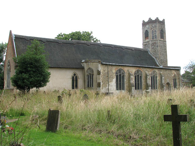 Old ChurchChurch · 1064 yd
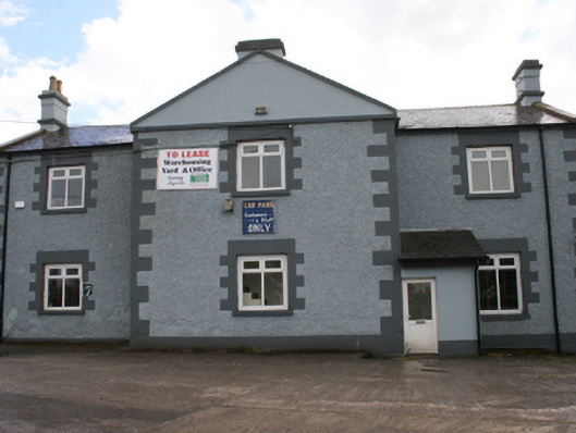 Cavan Schoolschool · 1750 yd
 Bawn in MoynehallBawn · 1.0 mi
 Aghalackan WestMountain / peak · 1.0 mi
 CastleCastle, unclassified · 1.2 mi
 GrottoWood · 1.3 mi
 Owen Roe O'Neill graveMemorial · 1.4 mi
 Aghalackan EastMountain / peak · 1.7 mi
 Carricknagore RockNamed rock · 2.0 mi
 Corgarran ForestForest · 2.6 mi