What is recorded here
Situated in flat pasture. Large block of limestone (max. dims. H 2.5m, 1.7m by 1.5m in section) with long axis orientated NNW-SSE. The ENE face of the stone is covered by small depressions resembling cup marks, but these appear to be natural solution-holes.
The above description is derived from both the published 'Archaeological Inventory of County Louth' (Dublin: Stationery Office, 1986) and the 'Archaeological Survey of County Louth' (Dublin: Stationery Office, 1991). In certain instances the entries have been revised and updated in the light of recent research.
See the attached view from E
Date of upload: 17 July 2007
Date likely to the Late Neolithic or Bronze Age, given the presence of cup marks, which are commonly associated with ritual or symbolic activity. The orientation and placement may have had ceremonial or astronomical significance, though specific folklore or use is not recorded.
The monument record does not grant public access. Check the route and ask the landowner before entering private land.
- What survives
- Recorded monument
Places near here
 CastleCastle, motte · 652 yd
 Church (in Ruins)Church · 767 yd
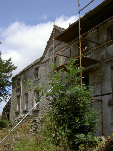 Cartanstown Househouse · 768 yd
 ToberanelshyHoly well · 1622 yd
 Mass-rock in KearneystownMass-rock · 1.1 mi
 Chapel (in Ruins), GraveyardChurch · 2.0 mi
 MonasterboiceEarly monastic site · 2.4 mi
 CarstownCastle, unclassified · 2.4 mi
 Muiredach's High CrossHeritage attraction · 2.4 mi
 BarabonaMountain / peak · 3.2 mi
 Black HillMountain / peak · 4.5 mi
 Yellow IslandIslet · 4.7 mi