What is recorded here
A standing stone 1.63m high × 1m wide × 0.75m thick; N-S. There is a large slab, c. 1.1m × 1.15m, lying beside it and some boulders and small slabs surround its base. Some, at least, are the result of field clearance. Situated on good land, on a level shoulder generally rising to E.
The above description was derived from the 'Archaeological Survey of County Donegal. A description of the field antiquities of the County from the Mesolithic Period to the 17th century.' Compiled by: Brian Lacey with Eamon Cody, Claire Cotter, Judy Cuppage, Noel Dunne, Vincent Hurley, Celie O'Rahilly, Paul Walsh and Seán Ó Nualláin (Lifford: Donegal County Council, 1983). In certain instances the entries have been revised and updated.
Date of upload: 22 September 2008
The monument record does not grant public access. Check the route and ask the landowner before entering private land.
- What survives
- Recorded monument
Places near here
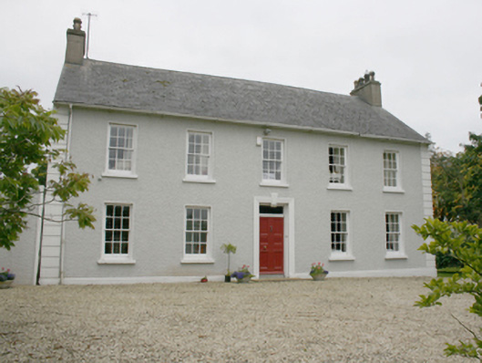 Ballyhasky Househouse · 643 yd
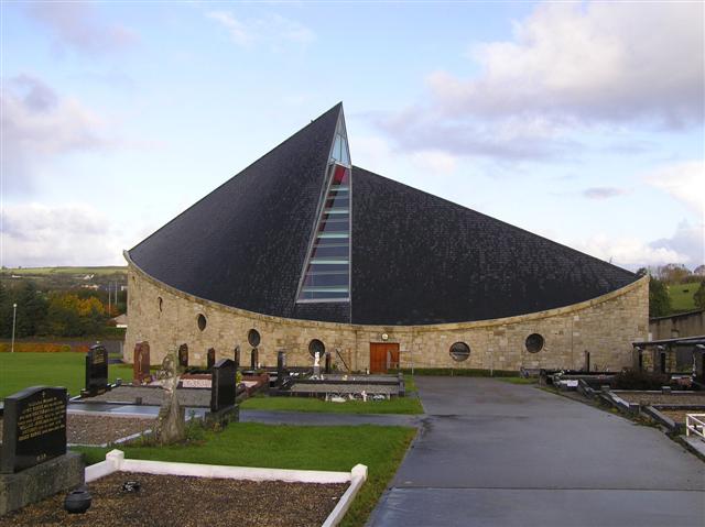 All Saints Catholic Churchchurch/chapel · 856 yd
 Former Monfad Fairy FortFairy fort / ringfort · 955 yd
 Former Main Plaster EnclosureEnclosure · 1162 yd
 CastleCastle, unclassified · 1.1 mi
 Burt CastleCastle, tower house · 2.0 mi
 Emmery Celtic CrossWood · 2.6 mi
 Grianán of AileachFairy fort / stone ringfort · 4.0 mi
 Greenan MountainMountain / peak · 4.0 mi
 King's GraveArchaeological place · 4.9 mi
 Mullanadee ShoreBeach / strand · 5.2 mi
 RowanRowan · 5.4 mi