What is recorded here
Standing stone in Na Millíní is a roughly rectangular stone north of Coolea, set on a south-facing edge above a river valley. A nearby resident showed it to a visitor in January 2013, when conifers and reclaimed field had already closed around it. It may have marked a boundary, a meeting place or a warning about the drop below, but its shape and direction suggest it was made to be seen from the small road.
This monument was reported to the Archaeological Survey of Ireland by Tony Miller on 28th January 2013. He describes it as follows: "This is a standing stone shown to me by the occupant of a nearby house. It is situated approximately 8 meters west of a small local road north of the village of Coolea. It is on the edge of a recently reclaimed field in amongst a stand of mature conifers. To the north and east are areas of extensive forestry. The land is south facing overlooking the river valley below, while behind it stretches up towards the county bounds. The stone itself is roughly rectangular in shape with a possible recent break on its eastern side. It is orientated NNE-SSW (20°-200°) and measures c. 0.95m high, c. 0.74 long and c. 0.55m in width."
Compiled by: Denis Power
Date of upload: 29 January 2013
The monument record does not grant public access. Check the route and ask the landowner before entering private land.
- What survives
- Recorded monument
Places near here
 Cultivation ridges in Na MillíníCultivation ridges · 1158 yd
 Structure in Na MillíníStructure · 1.0 mi
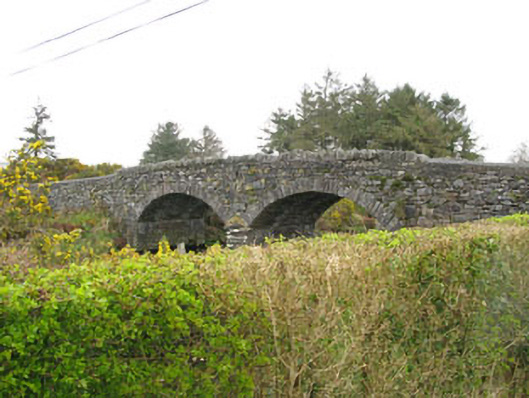 Milleeny Bridgebridge · 1.1 mi
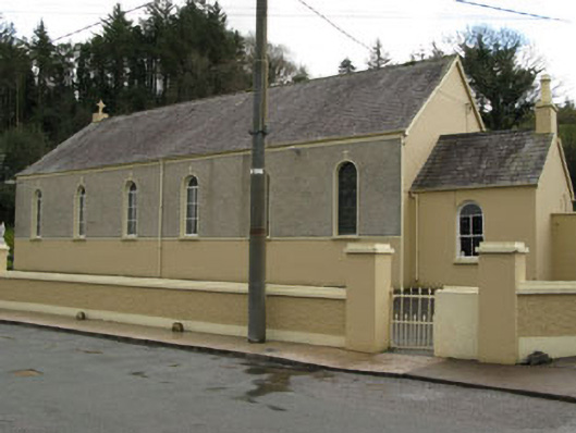 Séipéal Ghobnatan [Saint Gobnet's Catholic Church]church/chapel · 1.2 mi
 An Cnoc BuíMountain / peak · 2.0 mi
 KnockacommeenMountain / peak · 2.2 mi
 Sli Gaeltacht MuscraiWalking route · 2.6 mi
 Cascade WoodWood · 2.8 mi
 Castle (Site of)Castle, unclassified · 2.9 mi
 CastleCastle, unclassified · 3.0 mi
 Kealaboane WoodWood · 3.3 mi
 European long distance path E8 - part IrelandWalking route · 3.4 mi