What is recorded here
Situated on top of a small, natural rise, with extensive views, except where overlooked by higher ground to NE and S. Not depicted on OS mapping. Monument described in 1979 as a large upright limestone slab (H 2.7m) which has a broad face (Wth 1.25m) to E and W and is thin in cross-section (T 0.65m). The stone leans at a slight angle to NW. The top of the stone is roughly rounded to a point. The ground around the stone has been worn by livestock and it is now in a slight hollow, having small stones against its base at N and S. Another large limestone boulder lies flat on the ground c. 1m to WSW. This has a single circular hole drilled in its upper surface which is probably a blasting hole. There is an old disused quarry depression to E and a low bank running from the stone to NE, which may represent up-cast. Some small rock outcrops can be seen in the natural rise, to S of the two stones. A field boundary running NW-SE lies c. 37m to E. Monument is not visible today on Digital Globe aerial photography.
Compiled by Alison McQueen, Vera Rahilly and Caimin O’Brien.
Date of upload: 07 November 2019
Likely dating to the Bronze Age, this standing stone may have had ceremonial or territorial significance. Its prominent position suggests it could have been used for ritual purposes or as a marker within a landscape of wider prehistoric activity.
The monument record does not grant public access. Check the route and ask the landowner before entering private land.
- What survives
- Recorded monument
Places near here
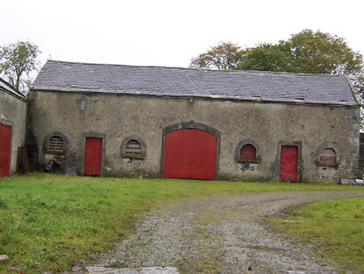 Moyvoughly Housestables · 831 yd
 Corn Mill, Tuck MillWater mill, vertical-wheeled · 833 yd
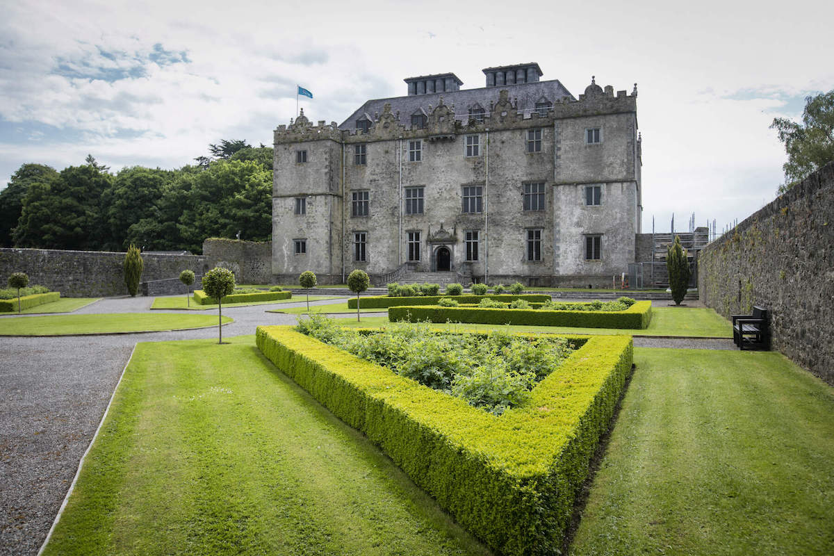 CastleCastle, unclassified · 878 yd
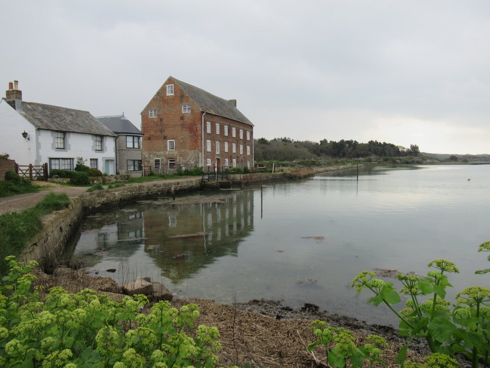 OutlinedEnclosure · 907 yd
 Partially indicatedEnclosure · 992 yd
 Site of Lissanode CastleCastle, unclassified · 1.6 mi
 Dún na Sí Heritage CentreMuseum · 2.5 mi
 Dún na SíMuseum · 2.5 mi
 Charles BianconiMemorial · 2.8 mi
 Moate HillMountain / peak · 2.9 mi
 Japanese pagoda treeJapanese pagoda tree · 3.3 mi