
What is recorded here
Situated in slight hollow with castle site (WM030-130---) 45m to NW. In 1612 Robert Dillon of Cannorstown was granted a 'castle (WM030-130----), a bawn, 30 houses, a water-mill' in the townland of 'Bealanecloghduffe and Killnedrae' (Cal. pat. rolls Ire., Jas I, 228). The post-medieval corn mill depicted on the OS 6-inch maps may have been built on the site of the medieval watermill depicted on the 1659 Down Survey map of Drumrany parish (NLI, MS 723-4). On this map the watermill is depicted as a building with waterwheel standing on the W bank of the Tang River or on the mill race diverted from the said river. The mill is shown standing beside a medieval castle (WM030-130----). The terrier of the 1659 Down Survey parish map recorded that in 1641 this castle and the lands of 'Ballinacloghduffe & Ruans' belonged to 'Irish papists', Henry Dillon and John Dillon (Ibid.). The terrier of Drumrany Parish map record that there was in 'Belanagh Cloghduffe & Ruans a Castle and a Mill' (Ibid.). Today only a small portion of the eastern end of the post-medieval corn mill survives, the rest of the mill was levelled and the mill race was mainly filled in and covered with a modern concrete yard. A portion of this mill-race has been preserved at the W end of the farmyard and a decorated window spandrel from Ballycloghduff Castle (WM030-130----) has been built into this section of the mill race surround. Cut stone fragments of the medieval castle can also be seen in the vicinity of the weir where they have been reused as facing stones for the E bank of the river.
Compiled and revised by: Caimin O'Brien
Date of revised upload: 24 July 2015
The monument record does not grant public access. Check the route and ask the landowner before entering private land.
- What survives
- Recorded monument
Places near here
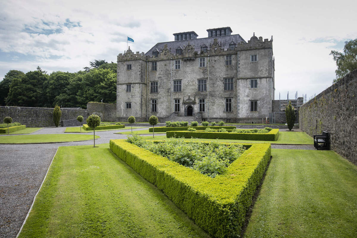 CastleCastle, unclassified · 55 yd
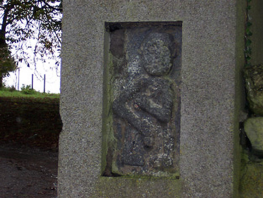 Ballycloghduff Houseunknown · 159 yd
 Partially indicatedEnclosure · 449 yd
 Killeennadrawhouse · 1285 yd
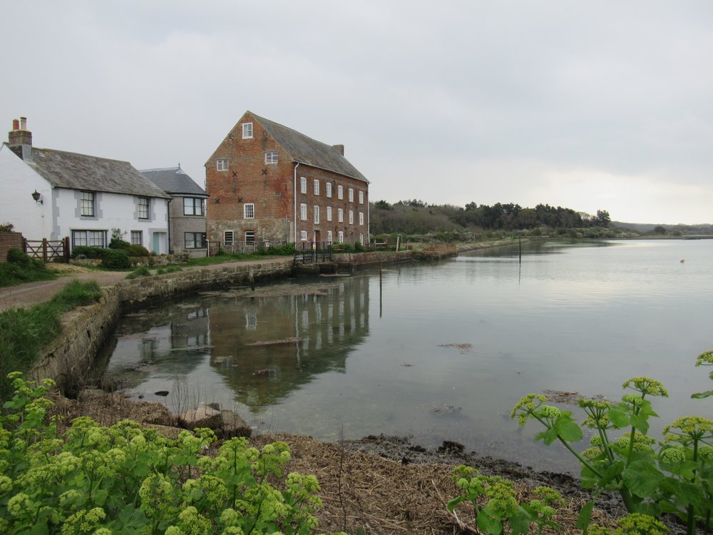 OutlinedEnclosure · 1651 yd
 Site of Lissanode CastleCastle, unclassified · 1.4 mi
 Dún na Sí Heritage CentreMuseum · 2.5 mi
 Dún na SíMuseum · 2.5 mi
 Charles BianconiMemorial · 2.9 mi
 Moate HillMountain / peak · 3.1 mi
 Japanese pagoda treeJapanese pagoda tree · 3.8 mi
Other information
Photo: Credit not shown in the picture search · Rights wording not checked; contact us if this picture should be removed