
What is recorded here
From the National Monuments Service (Archaeological Survey of Ireland) record LI023-295
Places near here
Photo credits
- National Inventory of Architectural Heritage
- Maker not stated on source page, evoke.ie
- Garry Dickinson, Geograph · CC BY-SA 2.0
- Maker not stated on source page, www.pinterest.com
- Maker not stated on source page, www.gettyimages.com
- Maker not stated on source page, en.wikipedia.org
- No machine-readable author provided. Christian1965~commonswiki assumed (based on copyright claims)., Wikimedia Commons · Public domain
- Knockane GAA Club website; individual photographer not stated, www.knockane.com
- Kmcnamee, Wikimedia Commons · CC BY-SA 4.0
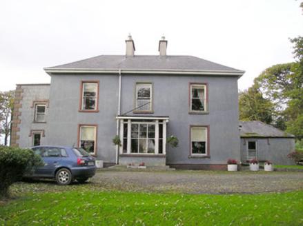 Cloverfield HouseCountry house · 1217 yd
Explorer Tom Cloverfield House in Caherconreafy is playing hard to get. It used to be called Clover Ville, which sounds like a very…
 Fairy fort / earthen ringfort in BallyhobinFairy fort / earthen ringfort · 1298 yd
Explorer Tom Fairy fort / earthen ringfort in Ballyhobin started a massive feud between two families over who owned the view of…
 garda station/constabulary barracks1422 yd
Explorer Tom Garda station or constabulary barracks in Rockfarm has a New Year's resolution to stop being a pub and start acting…
 Fairy fort / ringfort in ArdroeFairy fort / ringfort · 1.1 mi
Explorer Tom Fairy fort / ringfort in Ardroe is where the Vikings definitely got lost looking for it. It’s so hidden in the pasture…
 post box1.3 mi
Explorer Tom Post box in Rockfarm is stuck in a fairy dispute over who gets to park their tin bycicles nearby. George V’s head is on…
 outbuilding1.4 mi
Explorer Tom Outbuilding in Ballyvorneen would order extra thick chips with vinegar at the chippy corner. It thinks its stone walls…
 CastleCastle, unclassified · 2.5 mi
Explorer Tom This Castle in Greenane supposedly has a hidden tunnel straight to the local pub. Nobody's found it yet, which keeps…
 Stone Circle, HachuredStone circle · 4.0 mi
Explorer Tom Stone Circle in Ballynamona has a fence running right through the middle, like the first owner had an escape plan. Most…
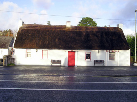 M. O'NeillHouse · 4.1 mi
Explorer Tom M. O'Neill in Sandylane is a vernacular legend with a steep roof that looks like it’s trying to escape gravity. It…
 Áine and Gearóid Iarla: Lough GurLegend location · 4.3 mi
Explorer Tom Áine and Gearóid Iarla: Lough Gur has a goddess for the lake and a sleeping lord in the old stories. I thought I was…
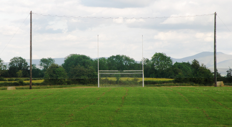 Knockainey GAA pitchGAA ground · 6.1 mi
 Bruff GAA pitchGAA ground · 7.1 mi
More archaeology and monuments in County Limerick · All of County Limerick

What do you know about this place?Tap to add a comment or ask a question