What is recorded here
Moneens holds a rectangular sandstone standing two metres tall, aligned northeast to southwest above pasture. The stone carries ZCH 1858 on its upper northwest face, marking it as a boundary or memorial rather than an anonymous ancient monument. It still points across the land like a ruler laid down by someone who wanted the line remembered.
In pasture with commanding views to NE. Rectangular sandstone aligned NE-SW (H 2.4m; 1.4m x 0.35m). Inscription ZCH 1858 on upper portion of NW face.
The above description is derived from the published 'Archaeological Inventory of County Cork. Volume 1: West Cork' (Dublin: Stationery Office, 1992). In certain instances the entries have been revised and updated in the light of recent research.
Date of upload/revision: 14 January 2009
The monument record does not grant public access. Check the route and ask the landowner before entering private land.
- What survives
- Recorded monument
Places near here
 IndicatedChurch · 500 yd
 Enclosure in Cashel MoreEnclosure · 684 yd
 Man-made underground passage in Farran (carbery East (e.d.) By.)Man-made underground passage · 1.1 mi
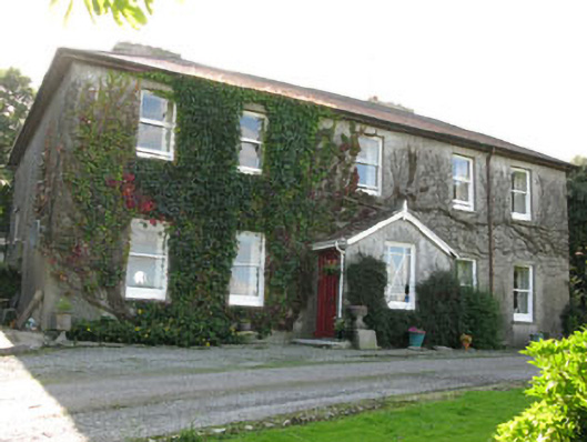 Hare Hillhouse · 1.2 mi
 Monteen Castle (in Ruins)Castle, tower house · 2.4 mi
 English hollyEnglish holly · 2.5 mi
 Graveyard in KilmalodaGraveyard · 2.5 mi
 Tobar MacloonaboySpring · 2.6 mi
 Cottage Road WoodWood · 2.7 mi
 Burrane Castle (Site of)Castle, unclassified · 3.0 mi
 Argideen Valley trailVisitor information · 3.2 mi
 Johnny Sheila MurphyMemorial · 3.2 mi