What is recorded here
Ahalisky holds two forts, one above the other, because the land refused to stop shaping itself. The upper ring stands on the ridge while the lower circle lies in pasture, joined by an underground passage that cuts through the hill like a hidden breath. People may have lived above, hidden below, or moved between both when the path still opened. What is certain is that the ground preserved the shape of hands, and the hands belonged to someone who understood the slope.
In pasture, on NE-facing slope. Ringfort (CO122-051---) in same field, atop ridge. Overgrown circular area (diam. c. 34m) enclosed by low, earthen bank (H 0.2m) SE->NE; scarp (H 0.8m) on downslope to E. Interior slightly raised on E side to compensate for hillslope; Man-made underground passage (CO122-052002-) in centre.
The above description is derived from the published 'Archaeological Inventory of County Cork. Volume 1: West Cork' (Dublin: Stationery Office, 1992). In certain instances the entries have been revised and updated in the light of recent research.
Date of upload/revision: 14 January 2009
The monument record does not grant public access. Check the route and ask the landowner before entering private land.
- What survives
- Recorded monument
Places near here
 CaveMan-made underground passage · 465 yd
 Enclosure in AhaliskyEnclosure · 746 yd
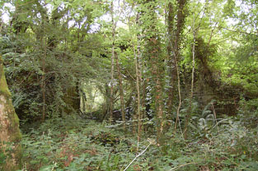 bridgebridge · 1131 yd
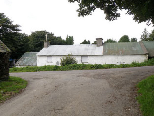 farm housefarm house · 1736 yd
 Monteen Castle (in Ruins)Castle, tower house · 1.1 mi
 English hollyEnglish holly · 1.3 mi
 Graveyard in KilmalodaGraveyard · 1.4 mi
 Tobar MacloonaboySpring · 2.5 mi
 Battle of the Big Cross (1798) Memorial MonumentMonument · 2.6 mi
 Michael Collins CentreMuseum · 2.9 mi
 Argideen Loop WalksVisitor information · 3.2 mi
 Argideen Valley trailVisitor information · 3.2 mi