
What is recorded here
Monument surveyed by ASI in 1976 and described as following; 'The stone has been levelled and now lies in a thicket of thorn trees and briars in the corner of the NNW-SSE field fence (post and wire) shown on the OS 6-inch map. A new roadway (narrow gravelled) has been made just E of this fence and it runs through the…
Read the whole record
From the National Monuments Service (Archaeological Survey of Ireland) record WM032-019
Places near here
Photo credits
- National Inventory of Architectural Heritage
- Maker not stated on source page, storage.googleapis.com
- Maker not stated on source page, www.patrickcomerford.com
- Thomas Gibbons, www.westmeathexaminer.ie
- Maker not stated on source page, www.gaia.com
- Maker not stated on source page, www.pinterest.com
- Maker not stated on source page, www.dreamstime.com
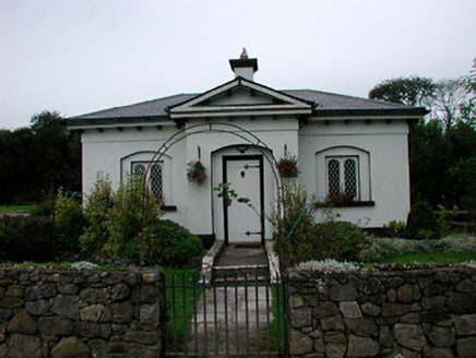 Middleton Park HouseGate lodge · 774 yd
Explorer Tom Middleton Park House gate lodge in Balrath North was built by someone who really wanted to look important without…
 Fairy fort / earthen ringfort in Castletown (moycashel By.)Fairy fort / earthen ringfort · 1449 yd
Explorer Tom Fairy fort in Castletown started when two lads bet on who could dig the shadiest hole. The earth won, mostly because…
 Church in Nure or LilliputChurch · 1528 yd
Explorer Tom Church in Nure Or Lilliput is secretly proud of a single potato that grew through its foundation stones back in the…
 Castletown Geoghegan GAA pitchGAA ground · 1581 yd
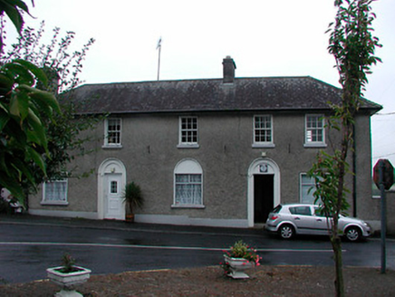 Castletown Geoghegan Garda Síochána StationRic barracks · 1745 yd
Explorer Tom Castletown Geoghegan Garda Station would survive a reality show by pretending the cameras are ghosts from the RIC days.…
 graveyard/cemetery1.0 mi
Explorer Tom Graveyard or cemetery in Castletown is full of McGeoghegans who died before they could buy a decent fiddle. A local…
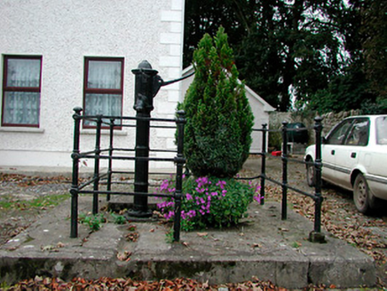 water pump1.1 mi
Explorer Tom Water pump in Castletown is still standing there like a statue from a Viking myth that went horribly wrong. The Vikings…
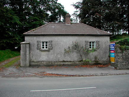 Vastina HouseGate lodge · 1.1 mi
Explorer Tom Vastina House in Castletown is holding a fake world record for the best-looking plain gate lodge, and it refuses to…
 Fairy fort / earthen ringfort in RathnamuddaghFairy fort / earthen ringfort · 1.3 mi
Explorer Tom Fairy fort / earthen ringfort in Rathnamuddagh was designed by a mother-in-law who needed more space between the bank…
 Flat cemetery in BallybrennanFlat cemetery · 2.0 mi
Explorer Tom Flat cemetery in Ballybrennan, County Westmeath has an imaginary fan club that meets every Tuesday to discuss the best…
 Balrath GraveyardGraveyard · 3.2 mi
Explorer Tom Balrath Graveyard in County Westmeath refuses to fall down because it knows exactly where it stands, literally and…
 CastleCastle, tower house · 5.7 mi
Explorer Tom Castle in Coolalough took about forty million cups of tea to build, if you believe the local gaffer. Now it’s basically…
More archaeology and monuments in County Westmeath · All of County Westmeath

What do you know about this place?Tap to add a comment or ask a question