
What is recorded here
In improved pasture, on a generally level area of a gentle SW-facing slope with reasonable views of the surrounding landscape. This feature is not named on any OS historic mapping. Described as, ‘a possible standing stone (limestone) …located in the field wall (running SW-NE) at the inner edge of the bank of the…
Read the whole record
From the National Monuments Service (Archaeological Survey of Ireland) record CL035-013003
Places near here
Photo credits
- Wanfried-Dublin, Wikimedia Commons · CC BY 4.0
- Maker not stated on source page, irisharchaeology.org
- Maker not stated on source page, www.ireland.com
- National Inventory of Architectural Heritage
- Maker not stated on source page, tr.pinterest.com
- Maker not stated on source page, www.wikidata.org
- Maker not stated on source page, www.sciencephoto.com
- Maker not stated on source page, commons.wikimedia.org
- Maker not stated on source page, kr.pinterest.com
- Roger Diel, Geograph · CC BY-SA 2.0
- Natasha Barton, credited by The Clare Echo, www.clareecho.ie
 Dermot and Granias BedWedge tomb · 231 yd
Explorer Tom Dermot and Granias Bed in Milltown has strong opinions about the road leading to it, thinking it’s too straight and…
 Megalithic tomb in MilltownMegalithic tomb · 633 yd
Explorer Tom Megalithic tomb in Milltown hears the wind whispering gossip about the neighbours through its thick stone walls. It…
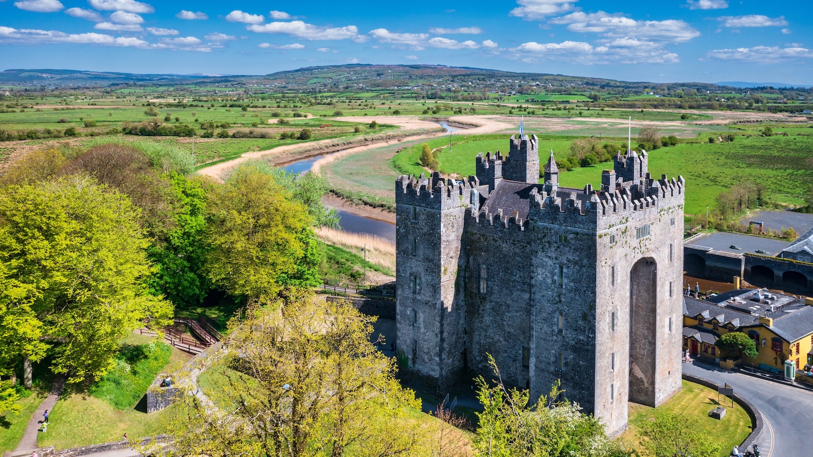 Bunavory CastleCastle · 910 yd
Explorer Tom Bunavory Castle has a long-standing grudge with the weather, mostly because the rain keeps trying to take its roof off…
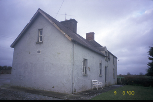 worker's house1007 yd
Explorer Tom Worker's house in Cloonteen witnessed a love story that ended with a thrown shoe, probably. It’s a private house now…
 Megalithic structure in MilltownMegalithic structure · 1044 yd
Explorer Tom Megalithic structure in Milltown hates visitors who wear bright yellow because it thinks they’re lemons trying to roll…
 Fairy fort / earthen ringfort in Moymore (tulla Upper By.)Fairy fort / earthen ringfort · 1325 yd
Explorer Tom Fairy fort / earthen ringfort in Moymore bragged about surviving a storm that flattened three fences nearby. It’s still…
 Megalithic structure in KiltanonMegalithic structure · 1540 yd
Explorer Tom Megalithic structure in Kiltanon stands in a disused burial place for children, according to the old people. Westropp…
 Standing stone in Ballyslattery or NewgroveStanding stone · 1679 yd
Explorer Tom Standing stone in Ballyslattery Or Newgrove caused the whole parish to argue about whether it was a church marker or…
 Megalithic structure in CaherloghanMegalithic structure · 1.1 mi
Explorer Tom Megalithic structure in Caherloghan is two slabs resting on smaller stones, and everyone is unsure if it’s real or just…
 Lissofin Castle (in ruins)Castle, unclassified · 1.2 mi
Explorer Tom Lissofin Castle would tell its younger self to stop worrying about being 'the Fort of Hugh the Fair' and just enjoy…
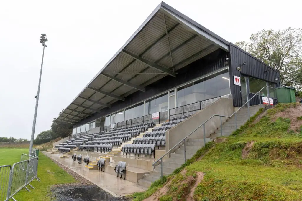 Páirc an Dalaigh, TullaGAA ground · 1.9 mi
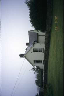 Scoil Náisiúnta MacaireSchool · 2.1 mi
Explorer Tom Scoil Náisiúnta Macaire in Maghera is a school from 1929 that looks like it’s waiting for its parents to come pick it…
More archaeology and monuments in County Clare · All of County Clare

What do you know about this place?Tap to add a comment or ask a question