What is recorded here
Maulikeeve is a standing stone in a ringfort in West Cork. It stands one point two metres high, aligned north to south inside the northern bank. Myler recorded two more stones beside the northwest bank and two corresponding stones outside it. The cluster may have marked a doorway, a boundary or a warning, but no human name or date remains attached to the stones.
Inside N bank of ringfort (CO106-02001-). Irregular stone aligned N-S (H 1.2m; 0.9m x 0.3m).
Myler (1998, 42) recorded 'two standing stones of 4ft. in height' beside the NW bank and two corresponding stones on the outside of the bank.
The above description is derived from the published 'Archaeological Inventory of County Cork. Volume 1: West Cork' (Dublin: Stationery Office, 1992). In certain instances the entries have been revised and updated in the light of recent research.
Date of upload/revision: 24 January 2013
Probably dates to the Early Christian or Bronze Age period, given its association with a ringfort. It may have had ritual or territorial significance, or marked a boundary or passage.
The monument record does not grant public access. Check the route and ask the landowner before entering private land.
- What survives
- Recorded monument
Places near here
 Enclosure in LaharanshermeenEnclosure · 956 yd
 Man-made underground passage in Ards More (west)Man-made underground passage · 1008 yd
 Kealkill stone circleVisitor information · 1.0 mi
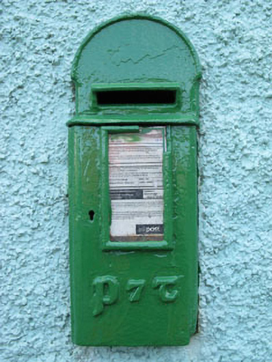 post boxpost box · 1.5 mi
 Carriganass Bridgebridge · 1.7 mi
 Carriganass CastleCastle · 1.7 mi
 Bulls PocketMountain / peak · 2.4 mi
 St Finbarr's Pilgrim RouteWalking route · 2.6 mi
 Mullach MéiseMountain / peak · 2.7 mi
 Castle (in Ruins)House, fortified house · 3.4 mi
 Daly's LoopWalking route · 3.5 mi
 Ballylickey BayBay · 3.6 mi