What is recorded here
Discovered in November 2014 during archaeological monitoring in advance of proposed afforestation within Maularaha townland. Located on a level area of boggy ground between two areas of rock outcrop c. 8m N of a stream. The stone (H 1.53m; 0.55m x 0.25m) is roughly rectangular in plan and is on an E-W alignment. It is very weathered and has a roughly-textured surface. Best views are to the WSW towards ringfort (CO106-020001-) c. 460m distant.
Compiled by: Matt Kelleher
Date of upload: 6 February 2015
The monument record does not grant public access. Check the route and ask the landowner before entering private land.
- What survives
- Recorded monument
Places near here
 Enclosure in LaharanshermeenEnclosure · 805 yd
 Man-made underground passage in Ards More (west)Man-made underground passage · 1334 yd
 Kealkill stone circleVisitor information · 1754 yd
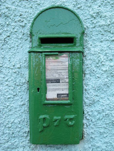 post boxpost box · 1.5 mi
 Carding MillMill, carding · 1.6 mi
 Carriganass CastleCastle · 1.7 mi
 St Finbarr's Pilgrim RouteWalking route · 2.3 mi
 Bulls PocketMountain / peak · 2.5 mi
 Mullach MéiseMountain / peak · 2.5 mi
 Castle (in Ruins)House, fortified house · 3.6 mi
 Francis O'Neill PlaqueMemorial · 3.7 mi
 Daly's LoopWalking route · 3.7 mi