What is recorded here
Indicated is a circular earthen ringfort on a hill crest in County Cork, Ireland. Local tradition claims an invisible tunnel links it to another fort nearby, though no entrance remains visible. The missing passage turns the quiet pasture into a place where human memory continues beneath the grass.
In pasture, on crest of hill. Circular slightly raised area (29.3m N-S; 29.5m E-W) enclosed by earthen bank (H 1m), stone-faced externally. Possible Man-made underground passage (CO106-056---) in interior; standing stone (CO106-02002-) inside N bank. Myler (1998, 42) recorded that there was a 'local tradition of a Man-made underground passage with this fort although there is no location visible. This tunnel was said to connect with the ringfort in Laharanshermeen' (CO106-081----).
The above description is derived from the published 'Archaeological Inventory of County Cork. Volume 1: West Cork' (Dublin: Stationery Office, 1992). In certain instances the entries have been revised and updated in the light of recent research.
Date of upload/revision: 24 January 2013
The monument record does not grant public access. Check the route and ask the landowner before entering private land.
- What survives
- Recorded monument
Places near here
 Enclosure in LaharanshermeenEnclosure · 951 yd
 Man-made underground passage in Ards More (west)Man-made underground passage · 1010 yd
 Kealkill stone circleVisitor information · 1.0 mi
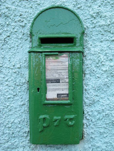 post boxpost box · 1.5 mi
 Carriganass Bridgebridge · 1.7 mi
 Carriganass CastleCastle · 1.7 mi
 Bulls PocketMountain / peak · 2.4 mi
 St Finbarr's Pilgrim RouteWalking route · 2.6 mi
 Mullach MéiseMountain / peak · 2.7 mi
 Castle (in Ruins)House, fortified house · 3.4 mi
 Daly's LoopWalking route · 3.5 mi
 Ballylickey BayBay · 3.6 mi