What is recorded here
Situated in a low lying area of pasture, overlooking bog to S and overlooked by higher ground to N. Annotated as a standing stone on 1837 ed. OS Fair Plan map but not depicted on any edition of the OS 6-inch maps. Monument described in 1983 as no surface remains visible. No trace of any standing stone visible on Digital Globe aerial photography.
Compiled by: Alison McQueen, Vera Rahilly and Caimin O’Brien
Date of upload: 03 April 2019
Likely dating to the Neolithic or Early Bronze Age, the stone may have had ritual or territorial significance. Local folklore sometimes associates such stones with ancient watchposts or markers for seasonal gatherings.
The monument record does not grant public access. Check the route and ask the landowner before entering private land.
- What survives
- Recorded monument
Places near here
 Partially hachuredEnclosure, large enclosure · 751 yd
 Ecclesiastical enclosure in RathconnellEcclesiastical enclosure · 908 yd
 Church (in Ruins)Church · 916 yd
 Site of CastleCastle, unclassified · 1036 yd
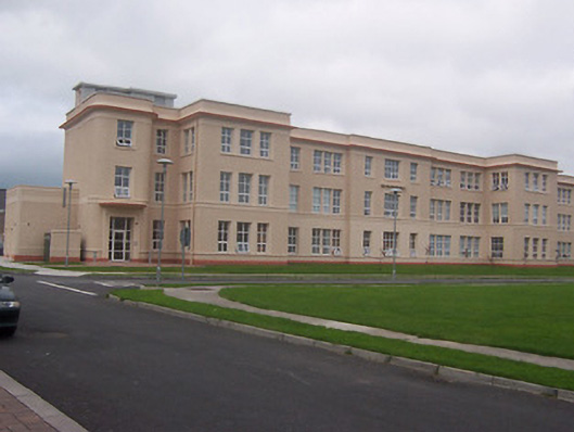 Saint Loman's Hpspitalhospital/infirmary · 1.4 mi
 CastleCastle, unclassified · 1.8 mi
 United Nations War MemorialMemorial · 2.8 mi
 Long PlantingForest · 2.9 mi
 Saint Brigid's WellSpring · 2.9 mi
 Lady's IslandWood · 4.0 mi
 Church IslandIsland · 4.2 mi
 Srudarra IslandIslet · 4.6 mi