
Places near here
Photo credits
- National Inventory of Architectural Heritage
- Mike Searle, Geograph · Creative Commons Attribution-ShareAlike 2.0
- Mullingar Shamrocks club article by Tom Hunt; image maker not separately named, mullingarshamrocksgaa.com
- 瑞丽江的河水, Wikimedia Commons
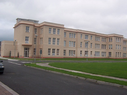 Saint Loman's HospitalHospital/infirmary · 1.6 mi
Explorer Tom Saint Loman's Hospital in Brackagh is a mid-century modern dream with curved corners that look like they were designed…
 Knockdrin CastleGate lodge · 1.7 mi
Explorer Tom Knockdrin Castle’s gate lodge in County Westmeath is secretly proud of one very specific, very large potato it grew…
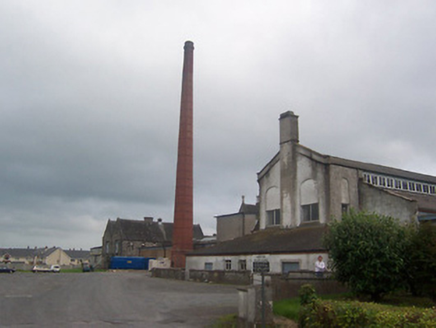 Saint Loman's HospitalChimney · 1.7 mi
Explorer Tom Saint Loman's Hospital chimney in Brackagh has been hiding a scandal so juicy it would make the local newspaper blush.…
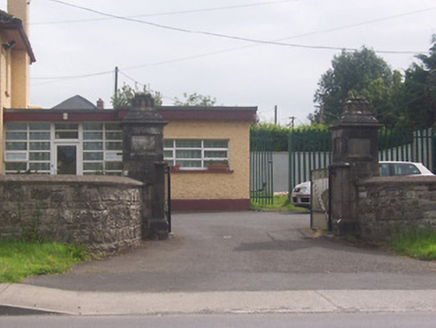 Acorn LodgeGates/railings/walls · 1.9 mi
Explorer Tom Acorn Lodge is having a bit of a row with the weather, which has decided to treat these gate piers like chewed gum…
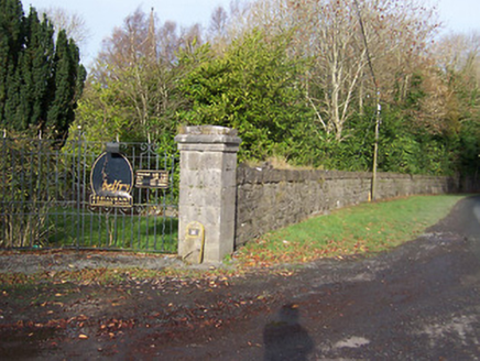 BallynagallDemesne walls/gates/railings · 2.0 mi
Explorer Tom Ballynagall has a plan for retirement involving sitting in the sun and letting its impressive gateway slowly crumble…
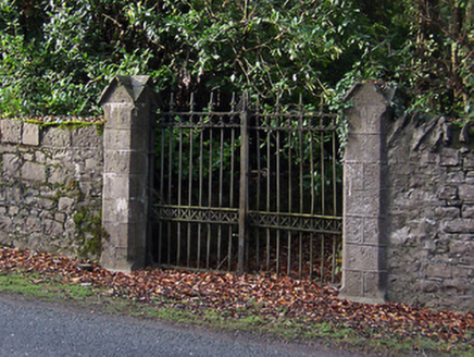 Saint Mary's Church (Portnashangan)Gates/railings/walls · 2.0 mi
Explorer Tom Saint Mary's Church gates in Ballynagall look like they were designed by a very stern mother-in-law who hated…
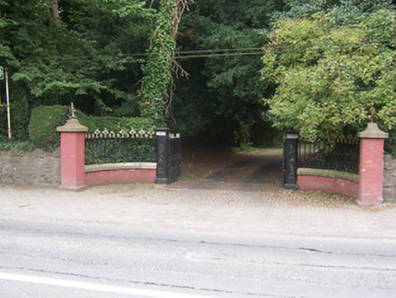 GlenmoreDemesne walls/gates/railings · 2.2 mi
Explorer Tom Glenmore gates are so fancy that the Vikings got lost looking for them. They kept walking past in circles because they…
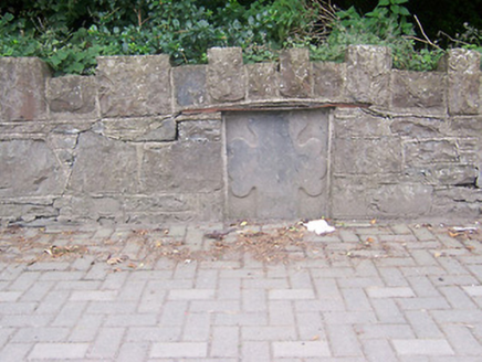 monument2.2 mi
Explorer Tom Monument in Petitswood is just a chunk of stone pretending it means something more than a fancy wall plug. It’s got an…
 Mullingar Shamrocks GAA pitchGAA ground · 2.2 mi
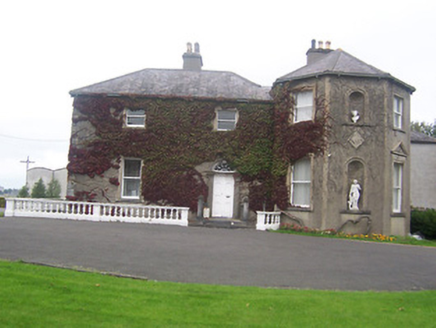 Clonard HouseHouse · 2.3 mi
Explorer Tom Clonard House in Baltrasna is currently run by a dog named Duke who thinks he’s the architect. He barks at every canted…
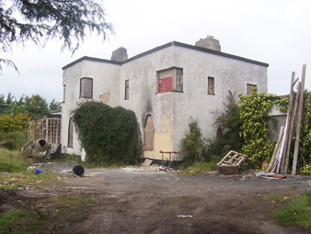 ArdeevinHouse · 2.3 mi
Explorer Tom Ardeevin House has made a New Year's resolution to stop being derelict and start letting people in for coffee or…
 Town ParkPark · 2.7 mi
Explorer Tom Mullingar Town Park puts a pond, paths and play space in the middle of the town, with the River Brosna close enough to…
More archaeology and monuments in County Westmeath · All of County Westmeath

What do you know about this place?Tap to add a comment or ask a question