What is recorded here
Standing stone in Lyradane stands beside a possible ringfort in County Cork, Ireland. It is no longer vertical but lies against a field fence to the south, measuring about two metres long and one point two metres wide. The stone may have marked a boundary, remembered an event or simply resisted forgetting. Its fall did not erase it, only changed the angle at which people must look.
Not shown on 1842 and 1904 OS 6-inch maps. Shown on S side of possible ringfort (CO051-014001-) on 1938 OS 6-inch map. Stone has now fallen and is lying against field fence to S (L c. 2m; Wth c. 1.2m).
The above description is derived from the published 'Archaeological Inventory of County Cork. Volume 3: Mid Cork' (Dublin: Stationery Office, 1997). In certain instances the entries have been revised and updated in the light of recent research.
Date of upload/revision: 14 January 2009
Likely dating to the Bronze Age, the stone may have originally functioned as a ritual or territorial marker. Its association with a possible ringfort suggests a link to early agricultural or defensive settlements, though specific folklore or symbolic meaning is not recorded.
The monument record does not grant public access. Check the route and ask the landowner before entering private land.
- What survives
- Recorded monument
Places near here
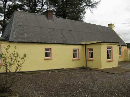 farm housefarm house · 577 yd
 Lyradane MountainMountain / peak · 882 yd
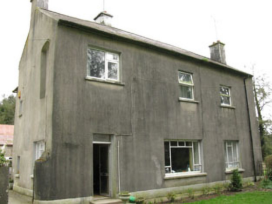 Davis Castlehouse · 1.2 mi
 Rock HillMountain / peak · 1.4 mi
 Castle (Site of)Castle, Anglo-Norman masonry castle · 1.6 mi
 Grave YdGraveyard · 1.8 mi
 Grave Yard (Disused)Graveyard · 1.8 mi
 Ballyvodane Castle (in Ruins)Castle, unclassified · 3.2 mi
 Pairc Ath Na hEornaMemorial · 3.6 mi
 New TipperaryVisitor information · 3.9 mi
 Graveyard in KilmonaGraveyard · 4.1 mi
 St John's WellSpring · 4.5 mi