What is recorded here
In pasture within the NE corner of a large field, the NE shore of Lough Gur lies 675m to S. A standing stone (LI023-117----) is located 80m to NW, an earthwork (LI032-047002-) lies 45m to SW.
The standing stone (LI032-047001-) is not depicted on OSi historic maps. It is not visible on OSi orthoimage taken 2005-12 or on Digital Globe orthoimages taken 2011-2013. The standing stone is referred to by O’Kelly (1944, 29) although it is difficult to distinguish which stone he is referring to. O’Kelly (1942-3, 180) separately refers to a series of standing stones which marked the route of an ancient road (LI023-115001-) which ran 'from Lough Gur Cross (LI032-061----) to the northern barony boundary’. Grogan (1989, Vol. 2, 271) attached the site name ‘Lough Gur 6’ to the monument within his PhD thesis. The location of the site has been estimated on Google Earth orthoimages taken 16/03/2016 and 28/06/2018. The standing stone may not survive above ground level. Future fieldwork should attempt to locate the site.
See attached Google Earth orthoimages
Compiled by: Edmond O’Donovan
Date of upload: 23 November 2020
The monument record does not grant public access. Check the route and ask the landowner before entering private land.
- What survives
- Recorded monument
Places near here
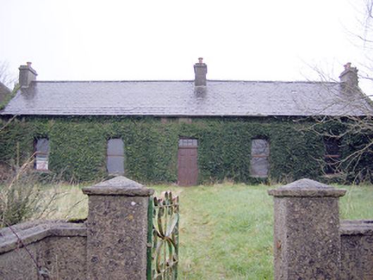 Lake Viewhouse · 387 yd
 The SpectaclesVisitor information · 738 yd
 Dotted outlineFairy fort / stone ringfort · 808 yd
 Pit-burial in LoughgurPit-burial · 810 yd
 Lough Gur Heritage CentreVisitor information · 843 yd
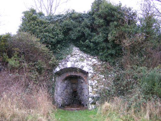 kilnkiln · 870 yd
 OultinedBawn · 885 yd
 Pedunculate OakPedunculate Oak · 1153 yd
 Garret IslandCastle, unclassified · 1678 yd
 Grange Stone CircleArchaeological place · 1.4 mi
 Lough GurVisitor information · 1.4 mi
 Banoge's WellSpring · 1.9 mi