What is recorded here
In flat terrain with large sand pit c. 20m to S, in undulating terrain under pasture. There are very good views from SE-S-W, but limited to the N to NE by Curraghdobbin and Carrigadoon hills. Monument identified during ASI fieldwork. Standing stone (L 1.3m; 0.94m x 0.77m), composed of sandstone with quartz pebble inclusions, which had recently fallen over. It lies in an oval depression, which was probably caused to cattle erosion around the base of the stone when it was upright. Only two sides are now visible, the top tapered to a point on its S side. It appears to have fallen to the S as stones around the N end, which appear to be packing stones, are embedded under the recumbent stone.
Compiled by: Jean Farrelly
Date of upload: 26 August 2011
The monument record does not grant public access. Check the route and ask the landowner before entering private land.
- What survives
- Recorded monument
Places near here
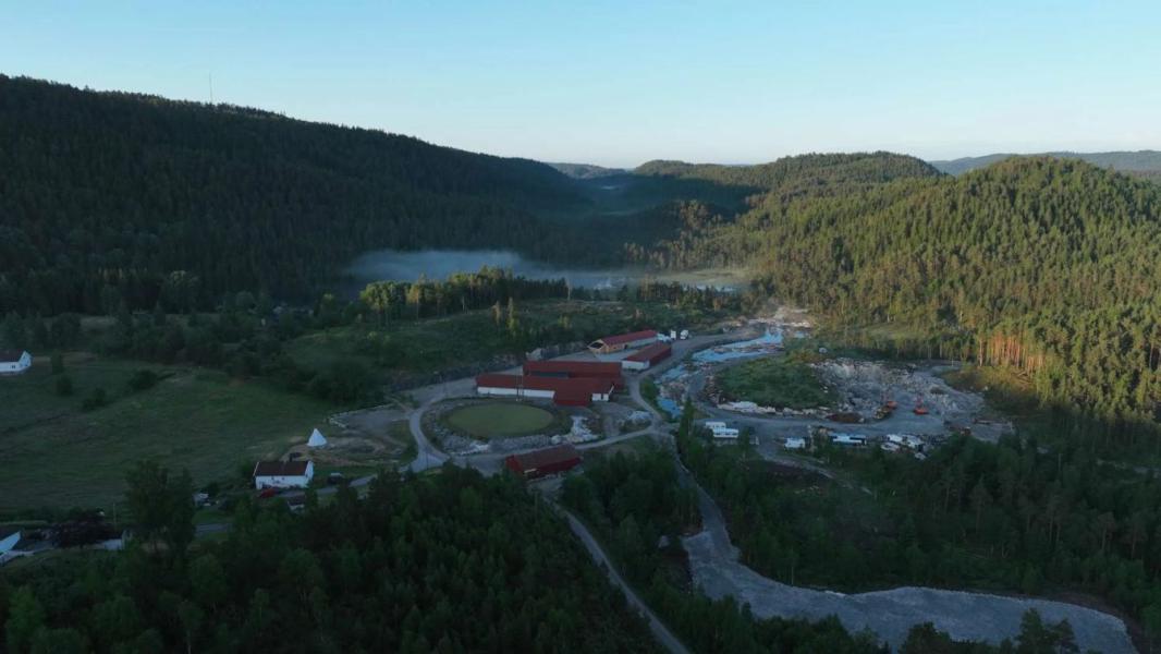 Enclosure in LissadoberEnclosure · 580 yd
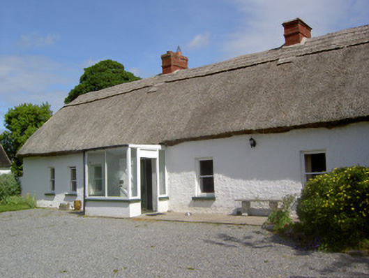 Ballynacloona Cottagehouse · 1137 yd
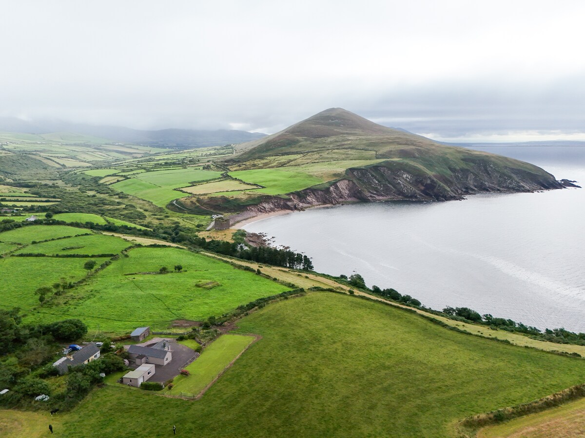 IndicatedEnclosure · 1198 yd
 Wild CherryWild Cherry · 1280 yd
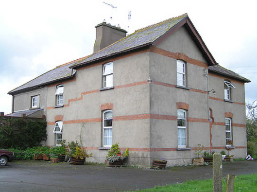 Ballyneill Castlehouse · 1418 yd
 Curraghdobbin HillMountain / peak · 1.1 mi
 Thomas KielyMemorial · 1.2 mi
 Bawn in KilcashBawn · 1.7 mi
 CastleCastle, ringwork · 1.7 mi
 Kilcash WoodForest · 1.7 mi
 Carrigaloe RockNamed rock · 2.4 mi
 Carrigadoon HillMountain / peak · 3.0 mi