What is recorded here
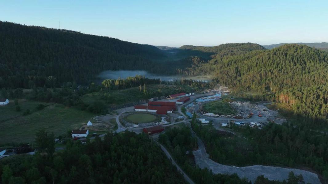
On fairly level ground in gently undulating terrain, under pasture. Identified on an aerial photograph taken in 1973 (GSI S.511/512) as an oval enclosure (dims. c. 35-40m). There are natural undulations in the field. The enclosure is not visible at ground level.
Compiled by: Jean Farrelly
Date of upload: 26 August 2011
The monument record does not grant public access. Check the route and ask the landowner before entering private land.
- What survives
- Recorded monument
Places near here
 Wild CherryWild Cherry · 1232 yd
 Curraghdobbin HillMountain / peak · 1419 yd
 Hillfort in CurraghadobbinHillfort · 1436 yd
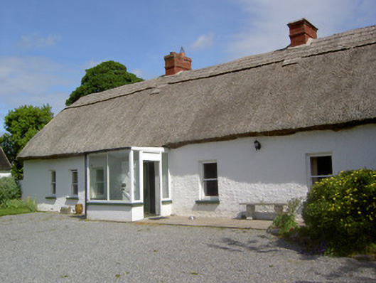 Ballynacloona Cottagehouse · 1537 yd
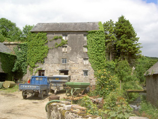 mill (water)mill (water) · 1617 yd
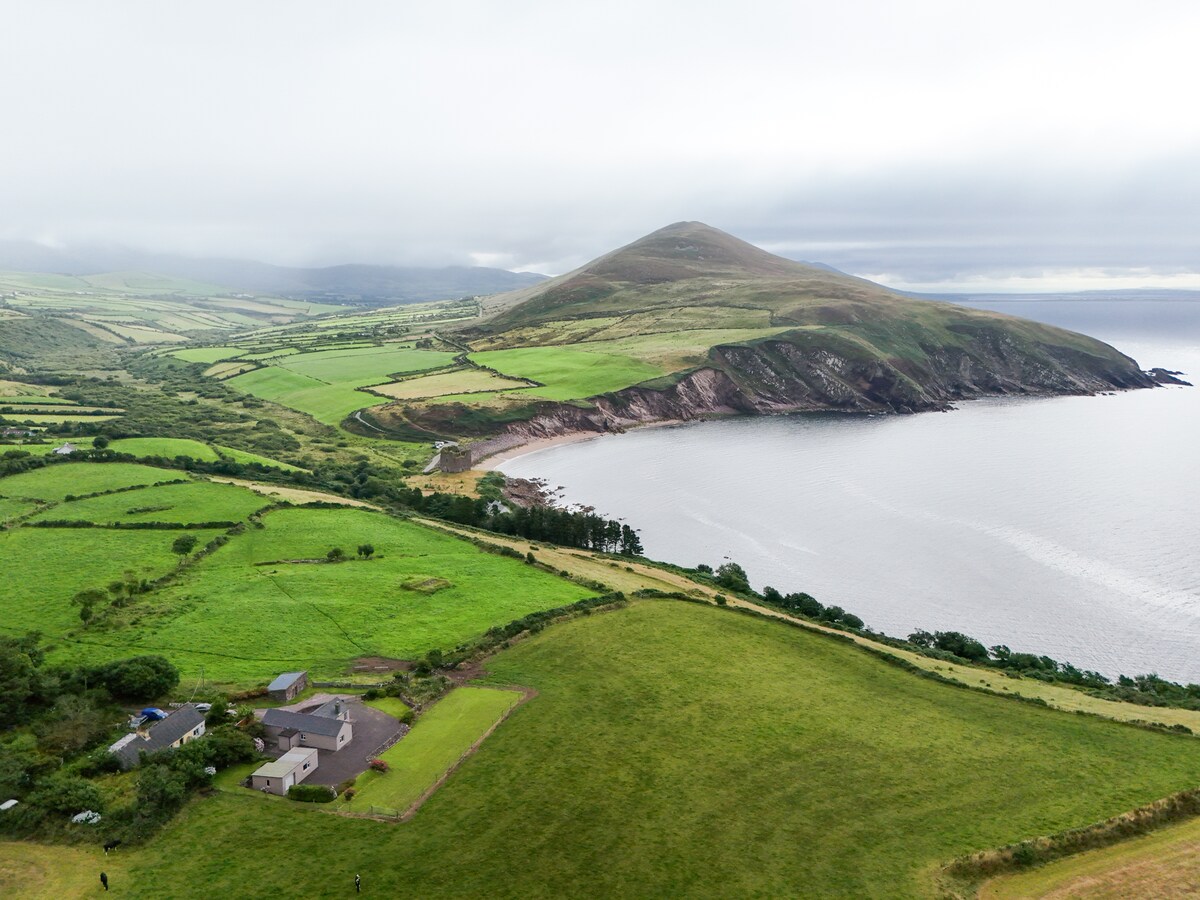 IndicatedEnclosure · 1.0 mi
 Thomas KielyMemorial · 1.5 mi
 CastleCastle, ringwork · 1.5 mi
 Bawn in KilcashBawn · 1.8 mi
 Kilcash WoodForest · 1.8 mi
 Carrigaloe RockNamed rock · 2.5 mi
 Carrigadoon HillMountain / peak · 2.7 mi
Other information
Photo: Credit not shown in the picture search · Rights wording not checked; contact us if this picture should be removed