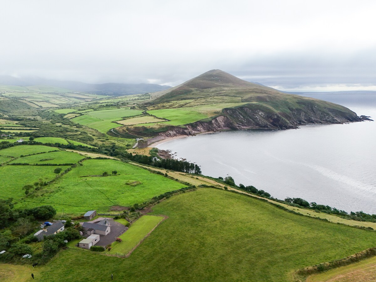
What is recorded here
In improved pasture, on a gentle E-facing slope. Sub-rectangular area (dims. 29m E-W; 25m N-S) defined by curvilinear earthen bank (Wth at top 1m; overall Wth 3.2m; int. H 0.55m; ext. H 0.5m) W-N, which appears to have been straightened or truncated to E and S, where it is largely obscured by overgrowth. The interior has an uneven surface and is overgrown with briars around perimeter and on bank. A linear depression (long-axis NW-SE) within W sector extends from bank to centre. The enclosure is known locally as a 'fort'.
Compiled by: Jean Farrelly
Date of upload: 26 August 2011
The monument record does not grant public access. Check the route and ask the landowner before entering private land.
- What survives
- Recorded monument
Places near here
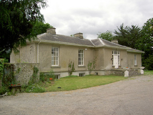 Kilmurry Lodgehouse · 915 yd
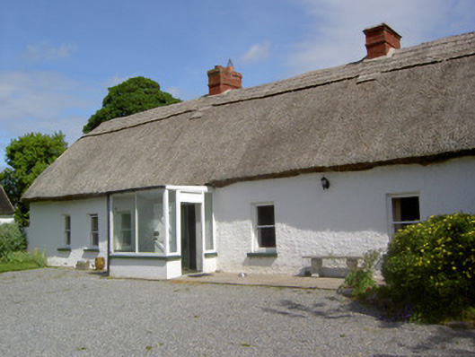 Ballynacloona Cottagehouse · 1016 yd
 Thomas KielyMemorial · 1509 yd
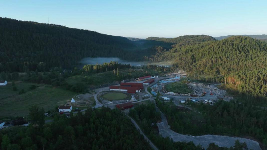 Enclosure in LissadoberEnclosure · 1.0 mi
 Wild CherryWild Cherry · 1.1 mi
 Concentric enclosure in KilcashConcentric enclosure · 1.1 mi
 Kilcash WoodForest · 1.6 mi
 Curraghdobbin HillMountain / peak · 1.8 mi
 Kilcash CastleCastle · 1.9 mi
 Kilcash Castle (in ruins)Castle, tower house · 1.9 mi
 Carrigaloe RockNamed rock · 2.3 mi
 Carrigadoon HillMountain / peak · 3.6 mi
Other information
Photo: Credit not shown in the picture search · Rights wording not checked; contact us if this picture should be removed