What is recorded here
In pasture, on top of an E-W running ridge, overlooking Lough Carra to the W. Roughly rectangular in plan (max. dims. H 3.2m; Wth 0.4m; T 0.3m), with main axis orientated NW-SE. It stands on top of a low mound of earth and stone (L 6m E-W; Wth 3m N-S).
The above description has been derived from D. Lavelle (compiler), An Archaeological Survey of Ballinrobe and District including Lough Mask and Lough Carra. Lough Mask and Lough Carra Tourist Development Association (1994), No. 57.
Date of upload: 30 October 2013
Probably dates to the Neolithic or Bronze Age, given its form and location on a prominent ridge. Its orientation and position may have had ritual or territorial significance, possibly linked to views of Lough Carra or seasonal alignments.
The monument record does not grant public access. Check the route and ask the landowner before entering private land.
- What survives
- Recorded monument
Places near here
 IndicatedFairy fort / stone ringfort · 685 yd
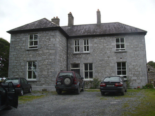 Liskilleen Housefarm house · 930 yd
 Church in Rocksborough SouthChurch · 1182 yd
 CastleCastle, unclassified · 1545 yd
 Dormbeg Island NorthIslet · 1.2 mi
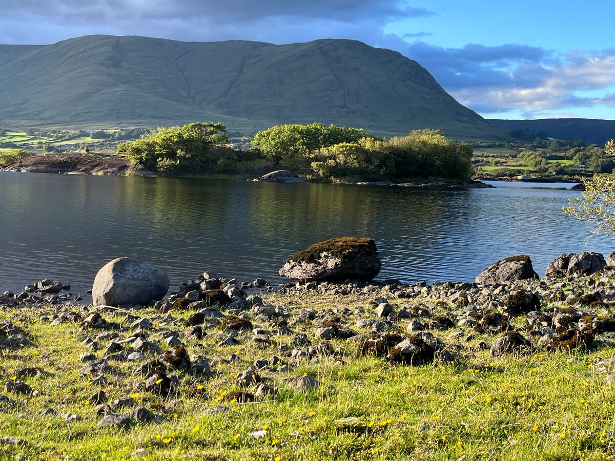 Dormbeg Island SouthIslet · 1.2 mi
 EnclosureEnclosure, large enclosure · 1.7 mi
 Castle (in Ruins)Castle, tower house · 1.9 mi
 SycamoreSycamore · 2.1 mi
 Kiltoom PointHeadland · 2.9 mi
 Moore Hall ForestForest · 3.3 mi
 LabbadermotCave · 4.7 mi