
What is recorded here
In level pasture, poorly preserved ruins of rectangular church (5.7m N-S; 11.5m E-W), built with roughly coursed limestone; missing S wall; surviving portions of N and E walls in poor condition. W gable (H 4.8m) contains blocked up window. No trace of doorway or associated grave markers.
The above description has been derived from D. Lavelle (compiler), An Archaeological Survey of Ballinrobe and District including Lough Mask and Lough Carra. Lough Mask and Lough Carra Tourist Development Association (1994), No. 629.
Date of upload: 28 October 2013
The monument record does not grant public access. Check the route and ask the landowner before entering private land.
- What survives
- Recorded monument
Places near here
 IndicatedFairy fort / earthen ringfort · 684 yd
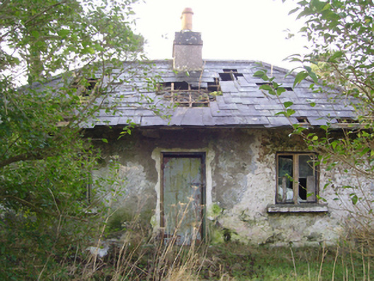 Cloonee Housegate lodge · 1042 yd
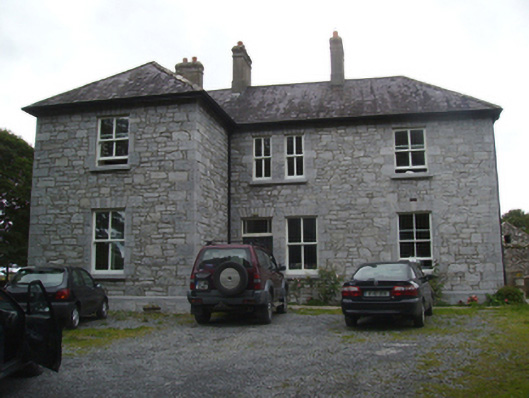 Liskilleen Housefarm house · 1265 yd
 Rat IslandIslet · 1519 yd
 Crane IslandIslet · 1659 yd
 EnclosureEnclosure, large enclosure · 1.1 mi
 CastleCastle, unclassified · 1.5 mi
 Caislen-na-CirceCastle, tower house · 2.3 mi
 SycamoreSycamore · 2.6 mi
 European ashEuropean ash · 3.0 mi
 Kiltoom PointHeadland · 3.1 mi
 Moore Hall Forest TrailWalking route · 3.6 mi
Other information
Photo: Credit not shown in the picture search · Rights wording not checked; contact us if this picture should be removed