
What is recorded here
In rough pasture, on S-facing slope, on a slight rise. Subcircular area (39.5m N-S; 37.5m E-W), enclosed by ruined wall of large boulders (H 0.3m, Wth 0.5m); original facing survives apart from short intervals in E. Stands on a bank of earth and stone (Wth 5m; H 0.7m). Wall and interior heavily overgrown. Depression (diam. 4.5m; D 0.3) on W half, possible Man-made underground passage (MA110-085002-). Structure (4.4m N-S; 7m E-W; H .5m) in centre of interior, possible hut site (MA110-085003-).
The above description has been derived from D. Lavelle (compiler), An Archaeological Survey of Ballinrobe and District including Lough Mask and Lough Carra. Lough Mask and Lough Carra Tourist Development Association (1994), No. 252.
Date of upload: 30 October 2013
The monument record does not grant public access. Check the route and ask the landowner before entering private land.
- What survives
- Recorded monument
Places near here
 Church (in Ruins)Church · 660 yd
 CastleCastle, unclassified · 1075 yd
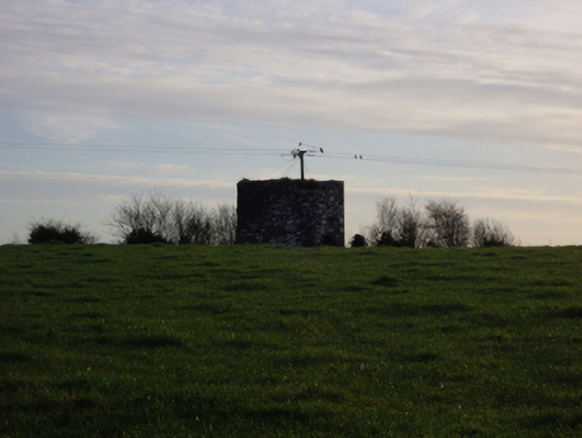 dovecote/pigeon house/aviarydovecote/pigeon house/aviary · 1403 yd
 Dormbeg Island NorthIslet · 1.2 mi
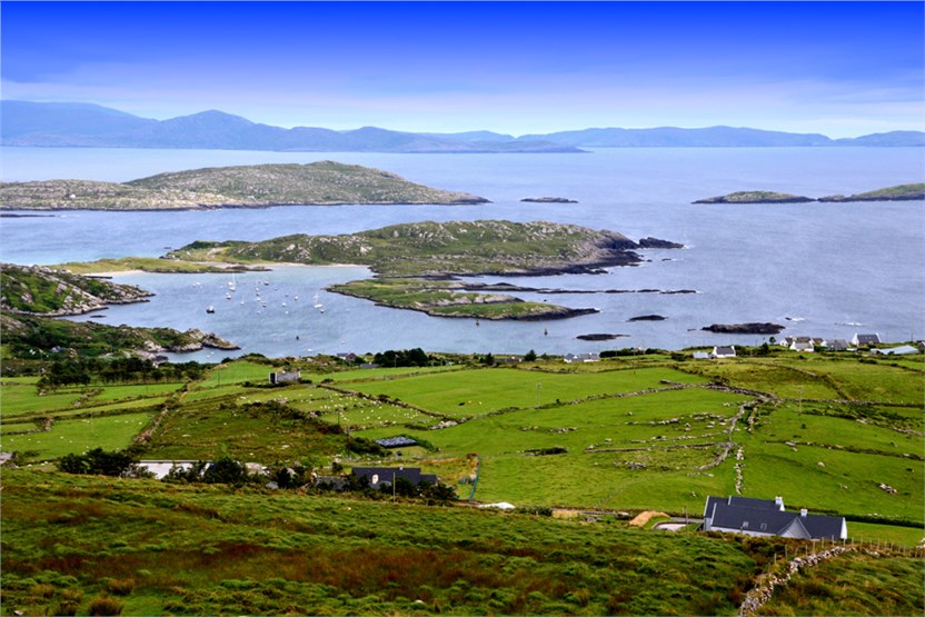 illanatrim islandIslet · 1.2 mi
 Castle (in Ruins)Castle, tower house · 1.7 mi
 EnclosureEnclosure, large enclosure · 2.1 mi
 Standing StoneMonument · 2.2 mi
 SycamoreSycamore · 2.2 mi
 Kiltoom PointHeadland · 2.7 mi
 Moore Hall ForestForest · 3.0 mi
 Moore Hall Forest TrailWalking route · 3.1 mi
Other information
Photo: Credit not shown in the picture search · Rights wording not checked; contact us if this picture should be removed