What is recorded here
In a level area of gently undulating pasture. Monument identified during ASI fieldwork. A limestone standing stone (0.51m x 0.22m; H 1.2m), rectangular in plan and orientated NNW-SSE. It has a flat, rectangular top which slopes gently downwards to the NNW. There is a farm access roadway c. 19m to the E.
Compiled by: Jean Farrelly
Date of revised upload: 9 September 2014
The monument record does not grant public access. Check the route and ask the landowner before entering private land.
- What survives
- Recorded monument
Places near here
 Enclosure in Kilross (clonbeg Par.)Enclosure · 523 yd
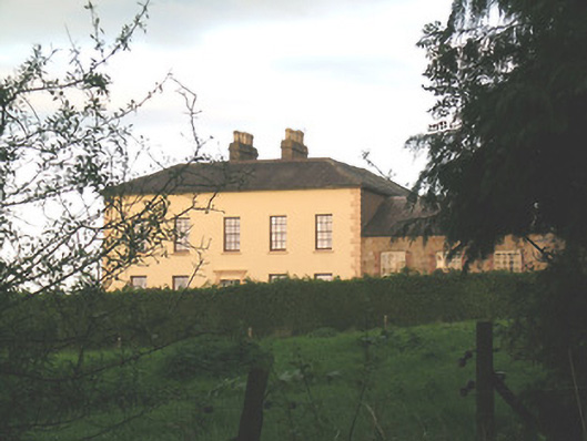 Ballywire Househouse · 1534 yd
 BarrowBarrow, unclassified · 1.3 mi
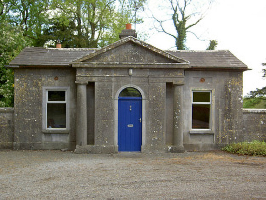 Mooresfort Housegate lodge · 1.3 mi
 CastleCastle, ringwork · 1.9 mi
 SlievenamuckMountain / peak · 2.3 mi
 Duntryleague HillMountain / peak · 2.3 mi
 Darby's Bed Walk LoopWalking route · 2.3 mi
 MoatCastle, motte · 2.4 mi
 Carn (site of)Cairn, burial cairn · 2.4 mi
 Bansha ForestForest · 3.5 mi
 Saint Patrick's WellSpring · 4.3 mi