What is recorded here
Hunger and curiosity both run deep in that place. Something important is hidden beneath the beauty. Part of you wants to take it with you. The chamber wants you to see through you.
In tillage. Stone (H 1.2m; 0.4m x 0.27m) is rectangular in plan; long axis NNE-SSW. According to Hartnett (1939, 70), second stone 15ft to N had fallen and was partially grass-covered, with dimensions similar to above stone. No visible surface trace of fallen stone.
The above description is derived from the published 'Archaeological Inventory of County Cork. Volume 3: Mid Cork' (Dublin: Stationery Office, 1997). In certain instances the entries have been revised and updated in the light of recent research.
Date of upload/revision: 14 January 2009
The monument record does not grant public access. Check the route and ask the landowner before entering private land.
- What survives
- Recorded monument
Places near here
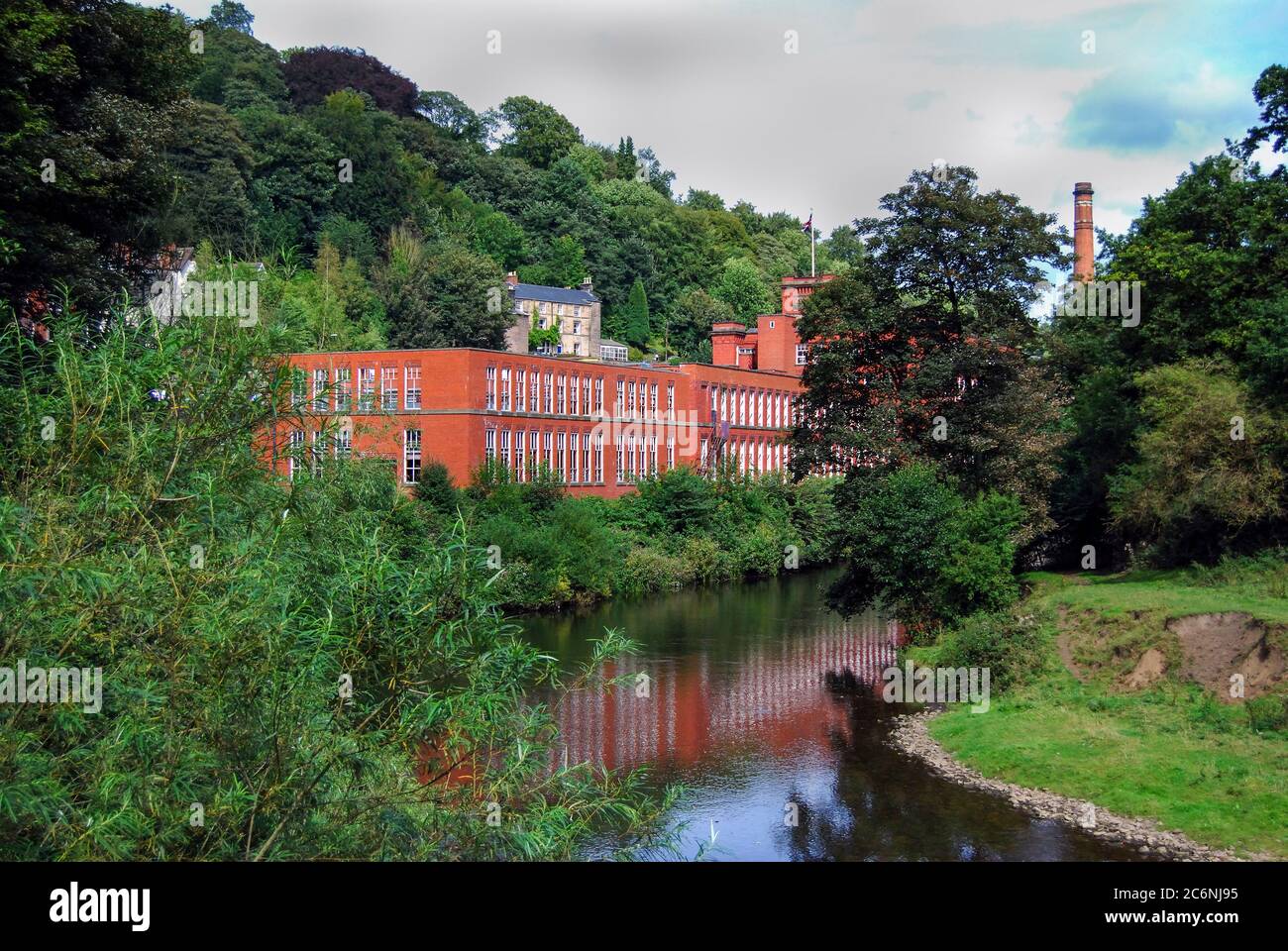 Site of MillMill, unclassified · 200 yd
 Enclosure in Curraghawaddra (muskerry East By.)Enclosure · 1229 yd
 Church in BallyvonganeChurch · 1.2 mi
 Leades Housecountry house · 1.2 mi
 Black WoodWood · 1.5 mi
 BurrenMountain / peak · 1.6 mi
 Mullinhassig WaterfallWaterfall · 2.2 mi
 Mullinhassig WoodWood · 2.2 mi
 Clonavrick CliffCliff · 3.2 mi
 Carrigadrohid Castle InfoVisitor information · 3.4 mi
 Carrigadrohid CastleHeritage attraction · 3.5 mi
 Carrigadrohid Castle (in Ruins)Castle, tower house · 3.5 mi