What is recorded here
In improved level pasture. Monument identified during ASI fieldwork. A limestone standing stone (0.3m x 0.25m; H 1.5m), regular in plan, with no obvious orientation. It is wider at the base and tapers toward the top which is flat. There is an E-W running field boundary c. 19m to the N and a N-S running tertiary road is c. 26m to the E.
Compiled by: Jean Farrelly
Date of upload: 24 October 2013
The monument record does not grant public access. Check the route and ask the landowner before entering private land.
- What survives
- Recorded monument
Places near here
 Enclosure in Carron (solloghodbeg Par.),kyle (solloghodbeg Par.)Enclosure · 594 yd
 Enclosure in Kyle (solloghodbeg Par.),newtown (solloghodbeg Par.)Enclosure · 714 yd
 Soloheadbeg Ambush SiteMemorial · 1132 yd
 CastleCastle, unclassified · 1245 yd
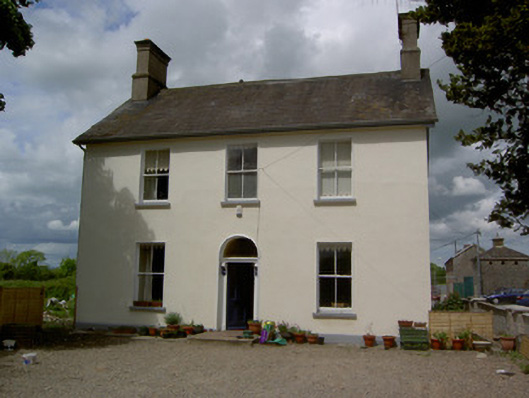 Limerick Junction Railway Stationstation master's house · 1.0 mi
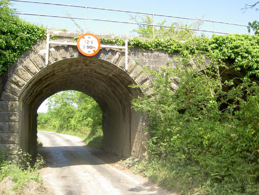 bridgebridge · 1.1 mi
 Soloheadbeg Ambushambush · 1.2 mi
 MoatCastle, motte and bailey · 1.7 mi
 The Maid of ErinMemorial · 2.4 mi
 Oola HillMountain / peak · 3.4 mi
 European ashEuropean ash · 3.6 mi
 The RockViewpoint · 4.8 mi