What is recorded here
Knockrour once held a six-foot stone on a south-facing slope, but grass and forgetting have erased its shape. Condon measured its fallen body in 1916, capturing the last clear proof that the field was not empty. The disappearance does not diminish the stone; it joins the many names and markers that vanished when people stopped repeating them.
In rough pasture, on S-facing slope. Condon (1916, 156) recorded 'partially fallen stone (L 6ft; Wth 29ins, T 20ins)'. No visible surface trace.
The above description is derived from the published 'Archaeological Inventory of County Cork. Volume 3: Mid Cork' (Dublin: Stationery Office, 1997). In certain instances the entries have been revised and updated in the light of recent research.
Date of upload/revision: 14 January 2009
The monument record does not grant public access. Check the route and ask the landowner before entering private land.
- What survives
- Recorded monument
Places near here
 Water millWater mill, horizontal-wheeled · 695 yd
 Enclosure in Curraghawaddra (muskerry East By.)Enclosure · 917 yd
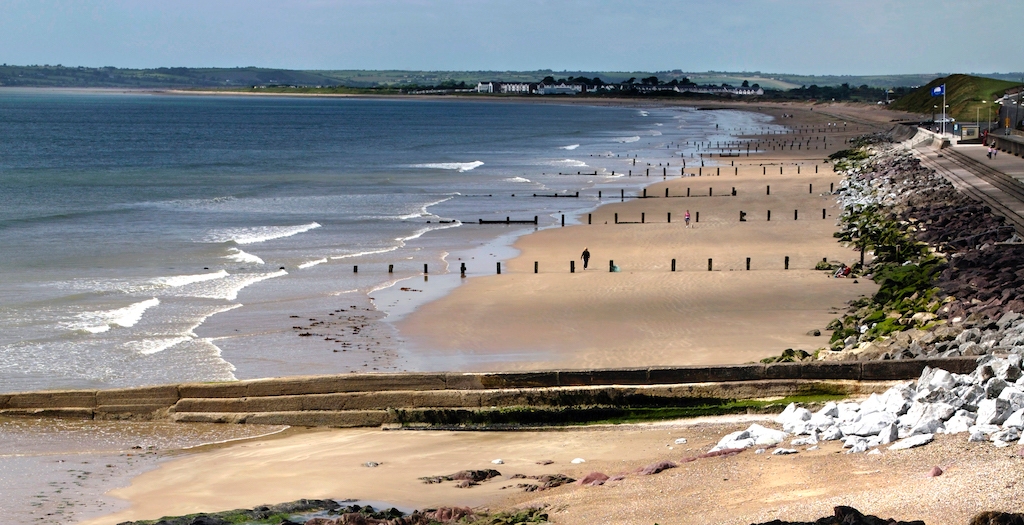 Man-made underground passageMan-made underground passage · 976 yd
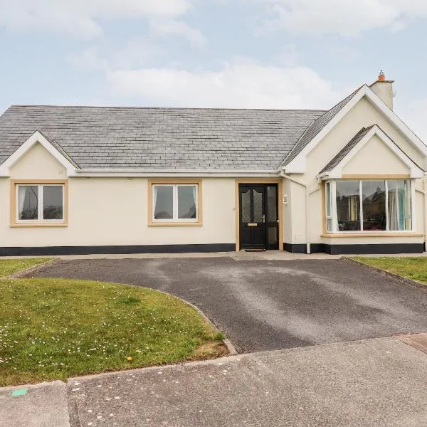 Mountrivers HouseCountry house · 1.4 mi
 Mullinhassig WaterfallWaterfall · 1.7 mi
 Mullinhassig WoodWood · 1.8 mi
 Black WoodWood · 2.4 mi
 BurrenMountain / peak · 2.6 mi
 Carrigadrohid Castle InfoVisitor information · 3.5 mi
 Carrigadrohid CastleHeritage attraction · 3.6 mi
 Carrigadrohid Castle (in Ruins)Castle, tower house · 3.6 mi
 Clonavrick CliffCliff · 4.3 mi