
What is recorded here
From the Northern Ireland Sites and Monuments Record record TYR016:022
Places near here
Photo credits
- Maker not stated on source page, www.dreamstime.com
- Maker not stated on source page, www.tripadvisor.ie
- Maker not stated on source page, monumentalireland.ie
- Maker not stated on source page, www.alamy.com
- Maker not stated on source page, www.pinterest.com
- Kenneth Allen, Wikimedia Commons · CC BY-SA 2.0
- Kenneth Allen, Geograph · CC BY-SA 2.0
- Castlederg St Eugene’s GAA official club site; aerial photographer unnamed, castlederggaa.weebly.com
- Maker not stated on source page, www.flickr.com
- Maker not stated on source page, commons.wikimedia.org
 Standing stone in CastlebaneStanding Stone · 1364 yd
Explorer Tom Standing stone in Castlebane is hiding a message that only dogs and very stubborn teenagers can actually read. It’s…
 Standing stone in BerrysfortStanding Stone · 1399 yd
Explorer Tom Standing stone in Berrysfort is annoyed at the map makers who put it three hundred meters to the left of where it…
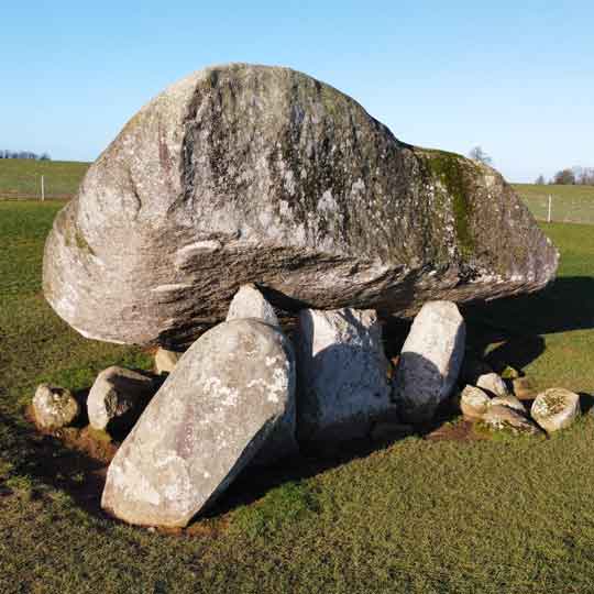 Portal tomb: giant's grave in Carncorran GlebePortal Tomb: Giant's Grave · 1.2 mi
Explorer Tom Portal tomb: giant's grave in Carncorran Glebe would complain to the council about the lack of parking and the rude…
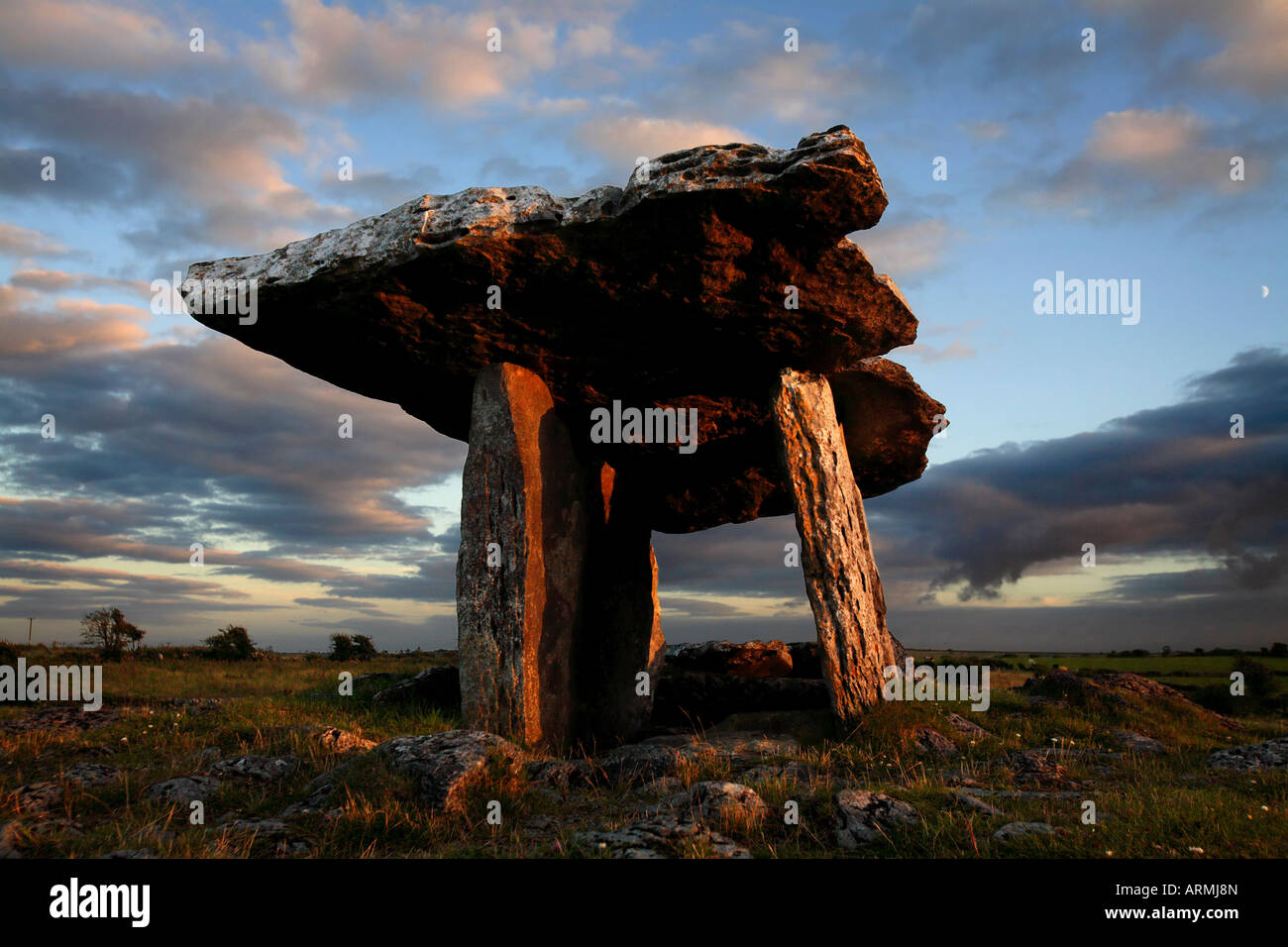 Megalithic tomb in ChurchtownMegalithic Tomb · 1.2 mi
Explorer Tom Megalithic tomb in Churchtown had an escape plan involving a secret tunnel to the pub. The first owner got halfway…
 Wedge tomb: todd's den in ChurchtownWedge Tomb: Todd's Den · 1.3 mi
Explorer Tom Wedge Tomb: Todd's Den in Churchtown is where the map makers got it wrong. They put a dot here and forgot to check if…
 Castlederg BridgeBridge · 1.3 mi
Explorer Tom Castlederg Bridge is flexing its 1820s bargain where the stones were bought second-hand from a very confident mason.…
 Ulster BankBank · 1.3 mi
Explorer Tom Ulster Bank in Churchtown was nearly sold for a horse during the 1860s, which is either true or the best lie I’ve ever…
 Historic Settlement: Castlederg, Derg Bridge, Castle-derrick or Churchtown in ChurchtownHistoric Settlement: Castlederg, Derg Bridge, Castle-derrick or Churchtown · 1.4 mi
Explorer Tom Churchtown is secretly proud of one specific potato that grew near the Derg Bridge, thinking it was destined for…
 Fortified house & bawn: castlederg castle in CastlesessaghFortified House & Bawn: Castlederg Castle · 1.4 mi
Explorer Tom Castlederg Castle gave up meat for Lent but only if it could replace it with something equally stubborn, which is a…
 Marius McHugh Park, St. Eugene's GAA, CastledergGAA ground · 1.6 mi
 Church & Graveyard: Gervaghkerin, Gervagh-kerin, Garvaghkeirinn or Scairb An Ciothrainn in ScavagherinChurch & Graveyard: Gervaghkerin, Gervagh-kerin, Garvaghkeirinn or Scairb An Ciothrainn · 1.6 mi
Explorer Tom Church & Graveyard: Gervaghkerin has four different names, which means it’s either very popular or just really confused…
 Mapped graveyardGraveyard · 2.0 mi
Explorer Tom This mapped graveyard in County Tyrone has been hiding a scandal for centuries involving a local politician who lost…
More archaeology and monuments in County Tyrone · All of County Tyrone

What do you know about this place?Tap to add a comment or ask a question