
What is recorded here
Castlederg, Derg Bridge, Castle-Derrick and Churchtown all point to one busy settlement in County Tyrone where people lived, traded and prayed from the medieval period through the seventeenth century. The changing names suggest a bridge, a fortress and a church kept appearing in local memory until they became a single identity.
The official Northern Ireland record identifies this as HISTORIC SETTLEMENT: CASTLEDERG, DERG BRIDGE, CASTLE-DERRICK or CHURCHTOWN. Recorded period: C17TH; E.CHRIST.; MEDIEVAL; LATE-MED; POST-MED. The official map point was placed at the centre of the recorded archaeological site from the source map reference.
The monument record does not grant public access. Check the route and ask the landowner before entering private land.
- What survives
- Recorded monument
Places near here
 Ulster BankBank · 69 yd
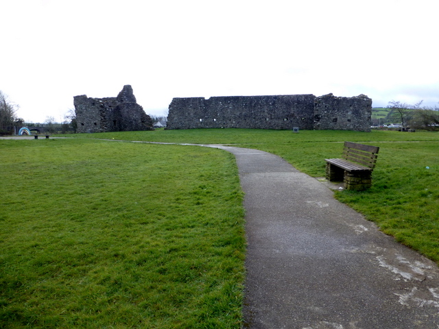 FORTIFIED HOUSE & BAWN: CASTLEDERG CASTLE in CastlesessaghFORTIFIED HOUSE & BAWN: CASTLEDERG CASTLE · 185 yd
 Derg CastleCastle · 187 yd
 Castlederg BridgeBridge · 237 yd
 ENCLOSURE in ChurchtownENCLOSURE · 550 yd
 ENCLOSURE in KilcroaghENCLOSURE · 1444 yd
 Dreenan WoodWood · 2.7 mi
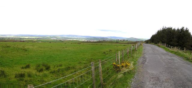 Fearn HillMountain / peak · 3.5 mi
 MullaghcroyMountain / peak · 4.5 mi
 BATTLE SITE: in 789 AD & BATTLE OF THE FORDS , Southern crossing, 1689 in Clady; DonnygowanBATTLE SITE: in 789 AD & BATTLE OF THE FORDS , Southern crossing, 1689 · 6.2 mi
 Sloughan GlenWood · 6.5 mi
 CHURCH; GRAVEYARD; CARVED STONE: HOLYWELL CHURCH in LackaghCHURCH; GRAVEYARD; CARVED STONE: HOLYWELL CHURCH · 7.1 mi
Other information
Photo: Kenneth Allen · CC BY-SA 2.0