What is recorded here
Knockanecosduff holds a nine-tenths-metre upright stone on a rough grazing slope, its long axis pointing northeast to southwest. The stone still stands where people first set it, perhaps marking a boundary, a memory or a warning. It is small enough to touch and old enough to outlive every name spoken beside it.
In rough grazing on SE-facing slope. Upright stone (H 0.9m; 0.7m x 0.6m); long axis NE-SW. (Weber 1975).
The above description is derived from the published 'Archaeological Inventory of County Cork. Volume 1: West Cork' (Dublin: Stationery Office, 1992). In certain instances the entries have been revised and updated in the light of recent research.
Date of upload/revision: 14 January 2009
The monument record does not grant public access. Check the route and ask the landowner before entering private land.
- What survives
- Recorded monument
Places near here
 Stone CirclesCairn, unclassified · 295 yd
 Hut site in MaughanasillyHut site · 1435 yd
 KnockbreteenMountain / peak · 1753 yd
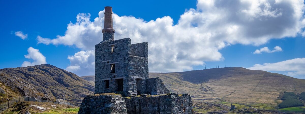 MineMine, copper · 1.5 mi
 Bulls PocketMountain / peak · 1.6 mi
 Carriganass CastleCastle · 2.0 mi
 Carriganass Bridgebridge · 2.0 mi
 Kealkill stone circleVisitor information · 2.7 mi
 St Finbarr's Pilgrim RouteWalking route · 3.3 mi
 CaoinkeenCliff · 3.6 mi
 The Priests LeapViewpoint · 3.8 mi
 Coomhola Salmon Trust (Streamscapes)Museum · 3.9 mi