What is recorded here
Kilroe holds a massive upright stone on a hill above Killala Bay, marking one limit of the Battlefield of Moyne according to local tradition. The stone stands in grazing pasture, rough and oval, while another appears eight hundred fifty metres away to complete the boundary. Neither map from 1838 nor 1929 recorded them, suggesting human memory preserved what official survey forgot.
In grazing pasture, located on top of a hill overlooking Killala Bay.
This standing stone is not shown on the 1838 and 1929 OS 6-inch maps. It consists of a massive upright stone (H 1.65m, Wth c. 1.55m; T c. 0.6m), roughly oval in cross-section.
According to local tradition, this and another standing stone (MA022-022002-), which is visible on a hill c. 850m to ESE, mark the limits of the Battlefield of Moyne (MA022-022001-).
Compiled by: Jane O’Shaughnessy
Date of upload: 8 May 2019
Likely dating to the Neolithic or Bronze Age, this standing stone may have functioned as a territorial marker, ceremonial focus, or astronomical alignment point. No specific folklore is recorded, but its prominent hilltop position suggests a symbolic or ritual significance in prehistoric landscape use.
The monument record does not grant public access. Check the route and ask the landowner before entering private land.
- What survives
- Recorded monument
Places near here
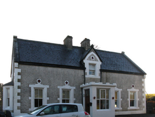 Brookview Housefarm house · 477 yd
 Kilroe ChurchChurch · 499 yd
 Bawn in Meelick (tirawley By.)Bawn · 961 yd
 Battlefields of MoyneBattlefield · 1028 yd
 Enclosure in Meelick (tirawley By.)Enclosure · 1036 yd
 Green IslandIslet · 1163 yd
 Site of ChurchChurch · 1308 yd
 CastleCastle, unclassified · 1327 yd
 Battle of Killalabattle · 1433 yd
 Rinnaun PointHeadland · 1.1 mi
 Moyne AbbeyHeritage attraction · 1.1 mi
 Bartragh IslandIsland · 1.4 mi