
What is recorded here
In average pasture, located on the flat top of a rocky knoll in undulating terrain broken by limestone outcropping. There is an abrupt drop in ground level 6m N, falling to an expanse of flat, poorly drained land that stretches c. 250m to the shores of Killala Bay.
This ruined medieval church is named Kilroe Church on the 1838 and 1929 OS 6-inch maps, and is located on the border of the townland to which it gives its name. The 1838 OS Letters, John O'Donovan records that the church was ‘about twenty four feet [7.3m] long and eighteen feet [5.4m] broad. The west gable and the south side wall are nearly destroyed, but the north side wall and the east gable are in good preservation. They are nearly in the Cyclopean style, being faced of large squarish stones…The east gable contains a window in the primitive round lancet style..’, and he notes that the ‘Church of Kilroe Mor in the country of Amalgadia’ is mentioned in the Tripartite Life of St. Patrick (O’Flanagan 1927, 38-9 (16-17)).
Sod-covered wall footings outline a rectangular building (c. 7m N−S; c. 14.7m E−W). A section of the N wall (L 8m; int. H 2.4m, ext. H 2.8m; T 0.8m) remains upstanding where it has been incorporated into a later E–W field wall. This section of the N wall appears to rest on a low plinth of stones (H 0.25m), which projects 0.25m from beneath the external face. The external wall face is constructed of large sandstone blocks, some square or rectangular, but others more irregular in shape, with very large stones forming the basal courses. One of the largest stones measures 1.1m by 1.1m by c. 0.2m in thickness. The interstices are filled with small stones and the remnants of lime mortar. In the interior, a row of low upright slabs, on a N-S axis, forms a partition to W of centre. Amongst the loose stone strewn in the interior, is a fragment (L 0.95m; Wth 0.4m; T 0.25m) of worked stone, part of a window arch, or possibly a door. A slightly raised spread of loose stone rubble, largely covered in overgrowth, surrounds the W and S side of the church.
There is a possible holy well (MA022-021002-) in the lowlying ground c. 15m to N.
Compiled by: Jane O'Shaughnessy
Date of upload: 16 November 2017
A local church or high cross; wider significance not recorded.
The monument record does not grant public access. Check the route and ask the landowner before entering private land.
- What survives
- Recorded monument
Places near here
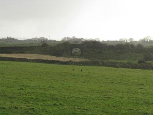 bridgebridge · 386 yd
 Battlefields of MoyneBattlefield · 575 yd
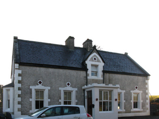 Brookview Housefarm house · 890 yd
 Enclosure in Meelick (tirawley By.)Enclosure · 989 yd
 Site of ChurchChurch · 1053 yd
 Bawn in Meelick (tirawley By.)Bawn · 1127 yd
 Moyne AbbeyHeritage attraction · 1546 yd
 Green IslandIslet · 1650 yd
 CastleCastle, unclassified · 1.0 mi
 Battle of Killalabattle · 1.1 mi
 Bartragh IslandIsland · 1.2 mi
 Rinnaun PointHeadland · 1.3 mi
Other information
Photo: Credit not shown in the picture search · Rights wording not checked; contact us if this picture should be removed