What is recorded here
In grazing pasture, located on top of a hill overlooking Killala Bay.
This standing stone is not shown on the 1838 and 1929 OS 6-inch maps. It consists of a massive upright stone (H 1.65m, Wth c. 1.55m; T c. 0.6m), roughly oval in cross-section.
According to local tradition, this and another standing stone (MA022-022002-), which is visible on a hill c. 850m to ESE, mark the limits of the Battlefield of Moyne (MA022-022001-).
Compiled by: Jane O’Shaughnessy
Date of upload: 8 May 2019
Likely dating to the Neolithic or Bronze Age, this standing stone may have functioned as a territorial marker, ceremonial focus, or astronomical alignment point. No specific folklore is recorded, but its prominent hilltop position suggests a symbolic or ritual significance in prehistoric landscape use.
The monument record does not grant public access. Check the route and ask the landowner before entering private land.
- What survives
- Recorded monument
Places near here
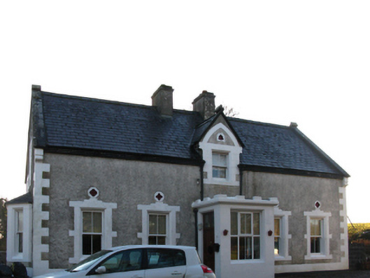 Brookview Housefarm house · 477 yd
 Kilroe ChurchChurch · 499 yd
 Bawn in Meelick (tirawley By.)Bawn · 961 yd
 Battlefields of MoyneBattlefield · 1028 yd
 Enclosure in Meelick (tirawley By.)Enclosure · 1036 yd
 Green IslandIslet · 1163 yd
 Site of ChurchChurch · 1308 yd
 CastleCastle, unclassified · 1327 yd
 Battle of Killalabattle · 1433 yd
 Rinnaun PointHeadland · 1.1 mi
 Moyne AbbeyHeritage attraction · 1.1 mi
 Bartragh IslandIsland · 1.4 mi