What is recorded here
Kilnagnady holds a 2.3m upright stone in open pasture, leaning slightly south-east while facing the Brinny valley. Its long axis runs north-east to south-west, marking a narrow line across the land rather than a broad gate. People may have placed it there to judge distance, remember an event or warn travellers about the valley below. The stone still performs that function, waiting for a person to walk up and read the shape of the place through it.
In level pasture, overlooking the Brinny river valley to NE. Upright stone (H 2.3m; 0.68m x 0.47m) leaning slightly to SSE; long axis NE-SW.
The above description is derived from the published 'Archaeological Inventory of County Cork. Volume 1: West Cork' (Dublin: Stationery Office, 1992). In certain instances the entries have been revised and updated in the light of recent research.
Date of upload/revision: 14 January 2009
Dated to the Late Neolithic or Early Bronze Age, this standing stone may have functioned as a territorial marker, ceremonial monument, or astronomical alignment feature. No specific folklore or inscriptions are recorded, but its position overlooking the Brinny river valley suggests a strategic or symbolic role in the landscape.
The monument record does not grant public access. Check the route and ask the landowner before entering private land.
- What survives
- Recorded monument
Places near here
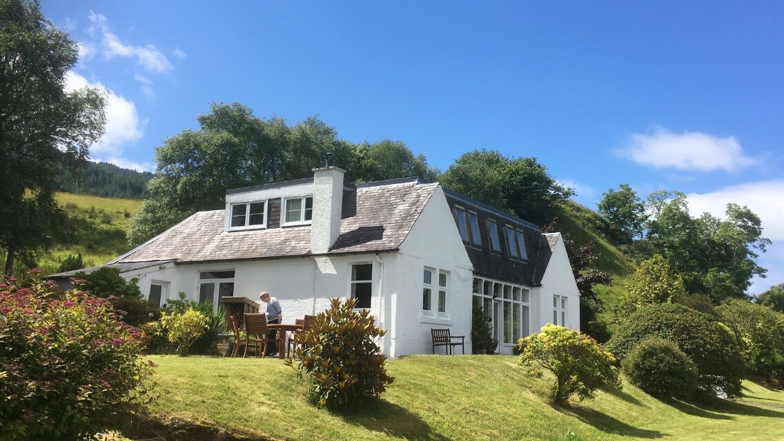 Country house in Kilmore (kinalmeaky By.)Country house · 560 yd
 Church in Kilmore (kinalmeaky By.)Church · 765 yd
 Graveyard in KilnagnadyGraveyard · 1111 yd
 Fulacht fia in Kilmore (kinalmeaky By.)Fulacht fia · 1192 yd
 Killeen Burial GroundBurial ground · 1.1 mi
 Castle Nalacht, site ofCastle, unclassified · 1.4 mi
 Downdaniel Castle (in Ruins)Castle, tower house · 2.5 mi
 Monterey CypressMonterey Cypress · 2.7 mi
 Mount Pleasant WoodWood · 2.9 mi
 Bandon War MemorialMemorial · 3.4 mi
 Carbury's WellSpring · 3.9 mi
 Marie LouiseWreck · 5.4 mi