
What is recorded here
Killeen Burial Ground is a levelled pasture in County Cork where low undulations still mark the southern edge of a pentagonal shape drawn on the 1842 survey. It was called a Danish Fort as often as a burial ground, and local tradition speaks of a man-made underground passage beneath the grass. That much is known; the rest belongs to imagination. A person may have walked that passage at night, carrying a lantern and listening for breath in the dark. If so, the field became a threshold instead of a farm. The land kept the shape of the warning.
In pasture. Shown as pentagonal hachured area on OS 6-inch map (1842). Site levelled. Low undulations to S and SW remain. Described in OS Name Book as 'burial ground' and 'Danish Fort' (CO096-086---). Local tradition of Man-made underground passage (CO096-084---).
The above description is derived from the published 'Archaeological Inventory of County Cork. Volume 1: West Cork' (Dublin: Stationery Office, 1992). In certain instances the entries have been revised and updated in the light of recent research.
Date of upload/revision: 14 January 2009
The monument record does not grant public access. Check the route and ask the landowner before entering private land.
- What survives
- Recorded monument
Places near here
 MoylelisheenEnclosure · 964 yd
 GallaunBoulder-burial · 1313 yd
 Graveyard in KilnagnadyGraveyard · 1364 yd
 Castle Nalacht, site ofCastle, unclassified · 1.1 mi
 Church in Kilmore (kinalmeaky By.)Church · 1.1 mi
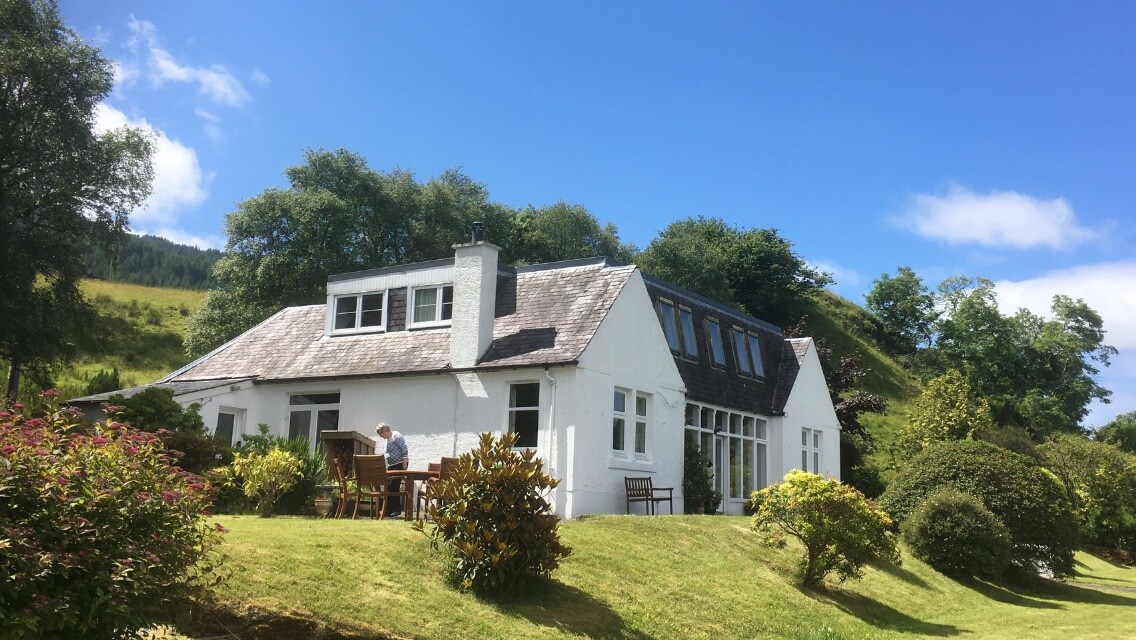 Country house in Kilmore (kinalmeaky By.)Country house · 1.4 mi
 Mount Pleasant WoodWood · 2.8 mi
 Dromkeen WoodWood · 4.1 mi
 Towers (in Ruins)House, fortified house · 4.2 mi
 Bandon War MemorialMemorial · 4.3 mi
 Carbury's WellSpring · 4.8 mi
 Tobar MacloonaboySpring · 8.4 mi
Other information
Photo: Credit not shown in the picture search · Rights wording not checked; contact us if this picture should be removed