What is recorded here
Kilcatherine stands on a ridge with commanding views to N, E and S, a rectangular stone aligned E-W measuring 1.35m high, 1.3m wide and 0.9m deep. It may have marked a boundary, a meeting place or a warning, visible from distance and steady against weather. People may have gathered there to watch the horizon, resolve disputes or remember what the land required them to carry forward.
On top of a ridge with commanding views to N, E and S. Rectangular stone aligned E-W (H 1.35m; 1.3m x 0.9m). (O'Brien 1970, 20).
The above description is derived from the published 'Archaeological Inventory of County Cork. Volume 1: West Cork' (Dublin: Stationery Office, 1992). In certain instances the entries have been revised and updated in the light of recent research.
Date of upload/revision: 14 January 2009
Dated to the Late Neolithic or Early Bronze Age, this standing stone may have functioned as a territorial marker or ceremonial monument. Its alignment and prominent position suggest a possible astronomical or ritual significance, though specific folklore or use remains unrecorded.
The monument record does not grant public access. Check the route and ask the landowner before entering private land.
- What survives
- Recorded monument
Places near here
 TrabaneBeach / strand · 828 yd
 Mound in KilcatherineMound · 940 yd
 Kilcatherine Ch (in Ruins)Church · 1629 yd
 Grave YdGraveyard · 1638 yd
 Eyeries IslandIslet · 1.4 mi
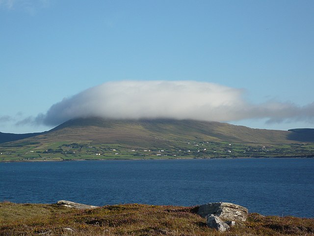 InishfarnardIslet · 1.5 mi
 Penitential station in BallycrovanePenitential station · 1.7 mi
 Eyeries - Coastguard Station LoopWalking route · 2.0 mi
 GortbrackMountain / peak · 2.0 mi
 Eyeries - Creha Quay LoopWalking route · 2.2 mi
 Pallas StrandBeach / strand · 2.5 mi
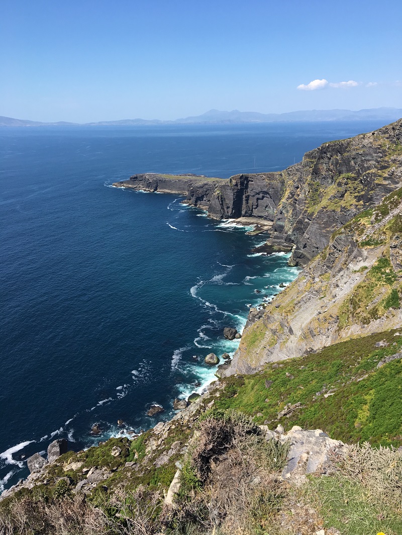 Wild Atlantic WayVisitor information · 3.2 mi