What is recorded here
Situated on top of a flat knoll in undulating pastureland which slopes gently to SW with a ringfort (TN023-051) visible 87m downslope to S. The summit of the hill rises immediately N of site. An area of rock outcrop is depicted on the 2nd ed. (1904) OS 6-inch map at this location. A triangular-shaped standing stone (H 1.2m; dims. 1.09m x 0.56m) aligned NE-SW stands in a circular hollow (diam. 2.6m; D 0.18m) which has been caused by cattle. The NW and SE faces are fairly flat. Tufts of grass are growing around the base of the stone but there is no evidence of packing-stones. According to Stout (1984, 60) the site 'appears to be a scratching post of no archaeological importance', however, there is a possibility that this is an antiquity.
The above description is derived from 'The Archaeological Inventory of County Tipperary. Vol. 1 - North Tipperary' compiled by Jean Farrelly and Caimin O'Brien (Dublin: Stationery Office, 2002). In certain instances the entries have been revised and updated in the light of recent research.
Date of upload/revision: 22 September 2008
Likely dating to the Bronze Age, this standing stone may have had ceremonial or territorial significance, possibly linked to the nearby ringfort. Interpretations of its meaning or use remain speculative, though it may be associated with local folklore or early agricultural activity.
The monument record does not grant public access. Check the route and ask the landowner before entering private land.
- What survives
- Recorded monument
Places near here
 St. Jamess WellHoly well · 531 yd
 Castle Housefolly · 1429 yd
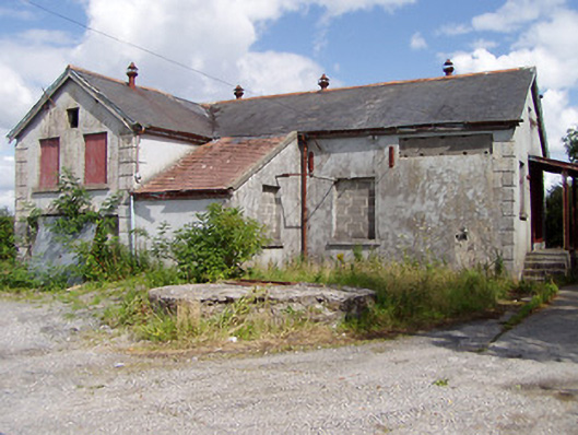 Killea Creamerycreamery · 1486 yd
 Enclosure in Killea (killea Par.)Enclosure · 1520 yd
 CastleCastle, ringwork · 1.2 mi
 College HillMountain / peak · 1.6 mi
 Kilduff MountainMountain / peak · 1.7 mi
 BatteryCastle, ringwork · 2.5 mi
 Longford WoodForest · 2.6 mi
 Morris's GroveForest · 3.5 mi
 Thomas MacDonagh Heritage CentreMuseum · 10 mi
 MacDonagh HouseMemorial · 10 mi