What is recorded here
In a level field midway between Mullaghbeg and Eagles Hill, a rectangular standing stone rises 1.45 metres, its pale quartz veins catching light like frozen rivers. It faces northeast to southwest, steady as a heartbeat in the Kerry landscape. People may have set it there to mark a boundary, honour a loss or simply watch the seasons turn. Its quiet shape still holds that unknown purpose, waiting for someone to stand beside it and listen.
Located in a level field, midway between Mullaghbeg and Eagles Hill, this standing stone is rectangular in basal plan and regular in elevation. It stands 1.45m high and measures .75m x .42m at base; NE-SW. Small veins of quartz run through the stone, which is not marked on the OS maps.
The above description is derived from A. O'Sullivan and J. Sheehan (compilers), 'The Iveragh peninsula: an archaeological survey of South Kerry'. Cork University Press (1996), no. 189. In certain instances the entries have been revised and updated in the light of recent research.
Date of upload: 28 July 2013
This standing stone likely dates to the Neolithic or Bronze Age and may have functioned as a territorial marker, ceremonial monument, or astronomical alignment feature. No specific folklore or detailed local tradition is recorded for this site.
The monument record does not grant public access. Check the route and ask the landowner before entering private land.
- What survives
- Recorded monument
Places near here
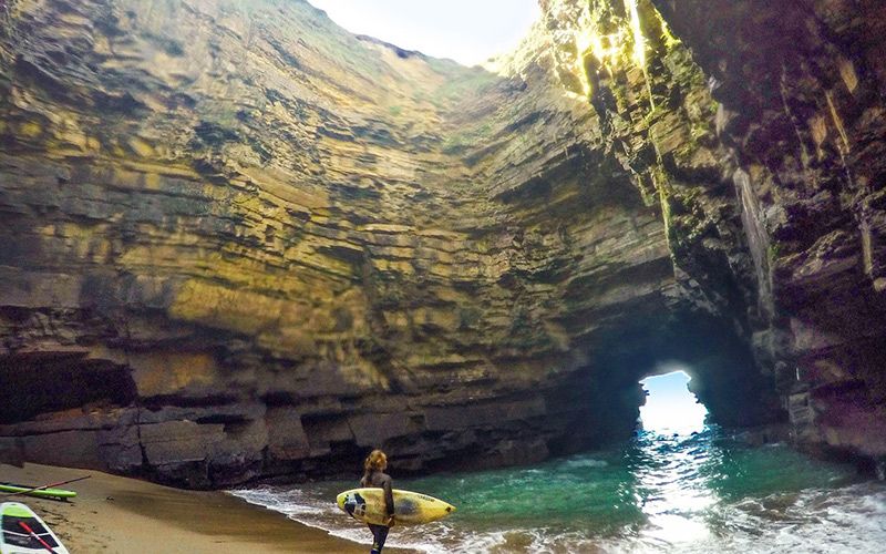 CaveMan-made underground passage · 214 yd
 An PlaoscHeadland · 1.1 mi
 Mullach BogMountain / peak · 1.2 mi
 Eagles HillMountain / peak · 1.2 mi
 IndicatedHoly well · 1.4 mi
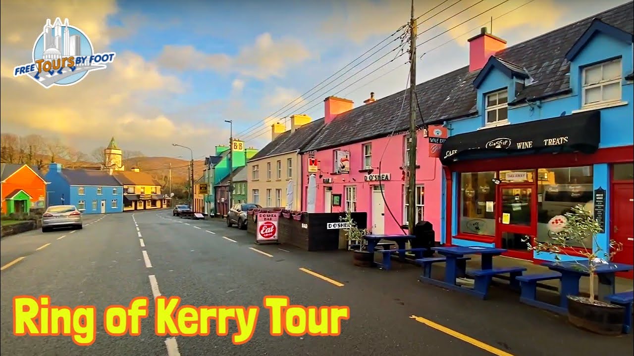 RoadRoad, road/trackway · 2.0 mi
 Copper Mines (Disused)Mine, copper · 2.1 mi
 2Cliff · 2.2 mi
 Castle Cove (in Ruins)Castle, tower house · 3.2 mi
 CastleCastle, tower house · 3.5 mi
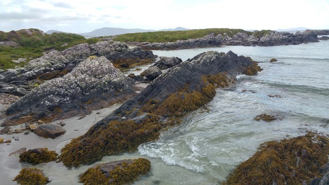 White StrandBeach / strand · 3.8 mi
 Reen BeachBeach / strand · 3.8 mi