
What is recorded here
In rough hill pasture, on upper S-facing upper slopes of Coad Mountain. Two shallow 19th-century drivings (5.3m E-W; 4.6m N-S; H 4.2m and 5.3m N-S; 4.8m E-W; H 3.5m) are excavated into the S face of an E-W rocky ridge displaying quartz veins. On the downslope to S are two spreads of quartz stones, the largest of which is c. 14m long.
Compiled by: Elizabeth Byrne, Ursula Egan and Sheila Ronan, Archaeological Survey Unit, University College, Cork.
Date of upload: 30 May 2011
The monument record does not grant public access. Check the route and ask the landowner before entering private land.
- What survives
- Recorded monument
Places near here
 MineMine, copper · 77 yd
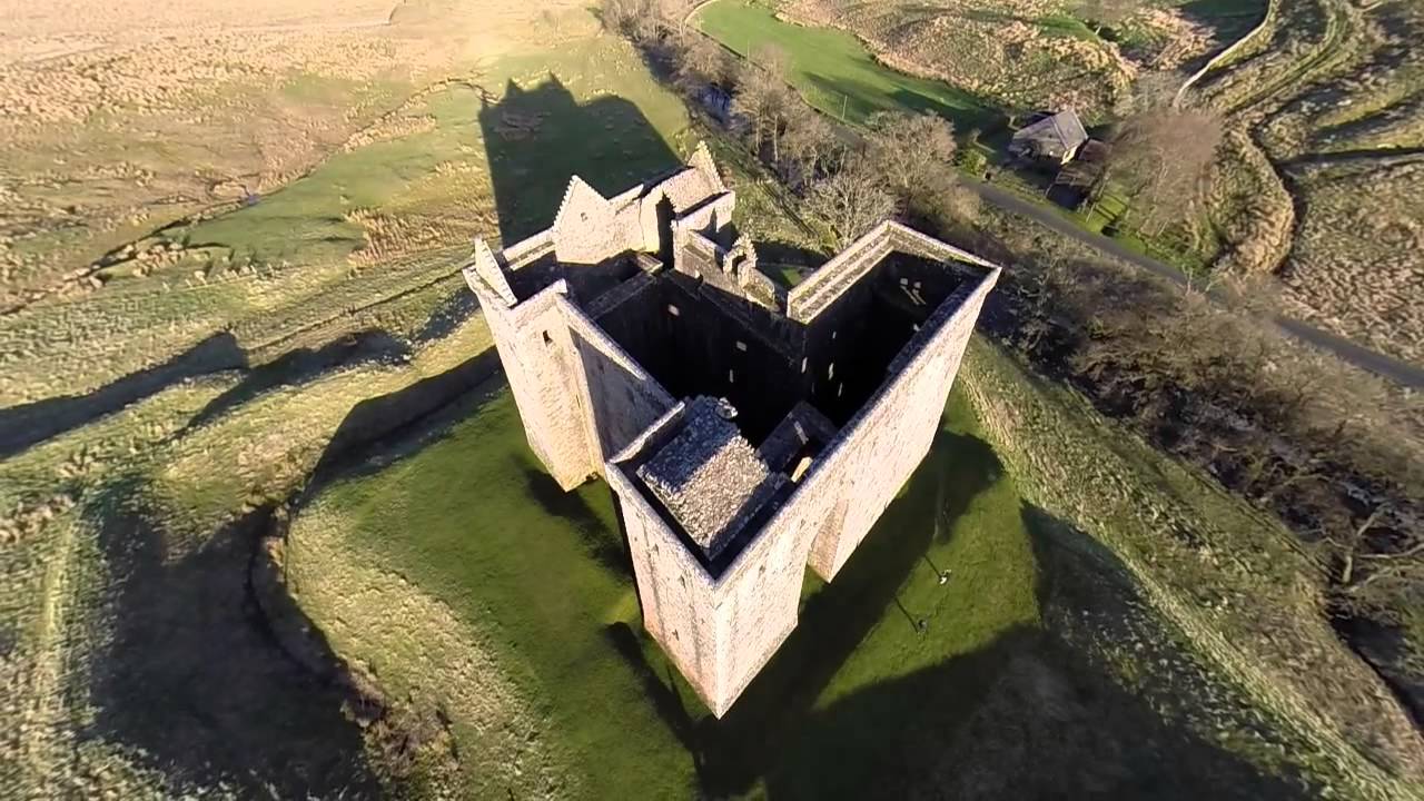 St. Crohanes HermitageHermitage · 86 yd
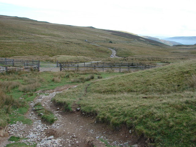 SheepfoldsHut site · 807 yd
 Kilcrohane Church (in ruins)Church · 961 yd
 Eagles HillMountain / peak · 1.1 mi
 Castle Cove (in Ruins)Castle, tower house · 1.5 mi
 Mullach BogMountain / peak · 1.6 mi
 Reen BeachBeach / strand · 1.8 mi
 Trá an Ghleanna Bhig / Glanbeg BeachBeach / strand · 2.1 mi
 An PlaoscHeadland · 2.7 mi
 2Cliff · 2.8 mi
 Ogham StoneVisitor information · 2.9 mi
Other information
Photo: Credit not shown in the picture search · Rights wording not checked; contact us if this picture should be removed