What is recorded here
Gurteennacloona holds a standing stone moved about 210m north-east from its original place beside a rath in County Cork. The stone may have marked a boundary, a burial, a meeting place or a warning, but human hands changed its address while the land kept the shape of its purpose.
This monument constitutes the site of a standing stone; the precise location of this site is unknown except that it stood directly to the N of a rath (CO032-022----). The stone was moved subsequently to its present location (CO032-147----) c. 210m to the NNE.
The above description is derived from 'The Archaeological Inventory of County Cork. Volume 5' (Dublin: Stationery Office, 2009).
Date of upload: 22 December 2009
This standing stone likely dates to the Bronze Age and may have had ceremonial or territorial significance. Its original placement near a rath suggests a possible link to early settlement or ritual activity in the area.
The monument record does not grant public access. Check the route and ask the landowner before entering private land.
- What survives
- Recorded monument
Places near here
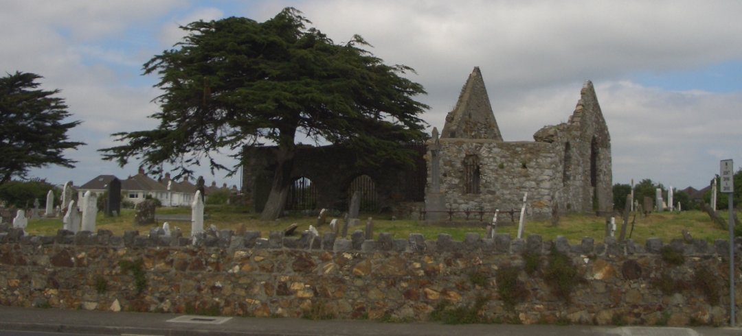 Burial ground in KilbarrahanBurial ground · 967 yd
 LisnapasteeBurial ground · 1328 yd
 Roskeen Housecountry house · 1597 yd
 Roskeen BridgeBridge · 1.0 mi
 Gurteenkreen Castle (Site of)Castle, unclassified · 1.2 mi
 Lohort CastleCastle, tower house · 1.6 mi
 Graveyard in Ballygiblin (duhallow By.)Graveyard · 2.5 mi
 Dromaneen CastleHeritage attraction · 2.7 mi
 Mount Hillary - Knightfield LoopWalking route · 2.9 mi
 Mount HillaryMountain / peak · 3.0 mi
 European YewEuropean Yew · 3.1 mi
 Mount Hillary - Mount Hillary LoopWalking route · 3.2 mi